Sut-Khol’ geodata
Sut-Khol’ (Republic of Tyva) is a populated place; located in Russia in Asia/Krasnoyarsk (GMT+7) time zone. With population of 3,051 people, there are 3741 cities with bigger population in this country. Compared to other cities in Russia, 73.1% of cities are located further ↑North; 86% of cities are located further ←West and 96.1% of cities have lower elevation than Sut-Khol’. Note1


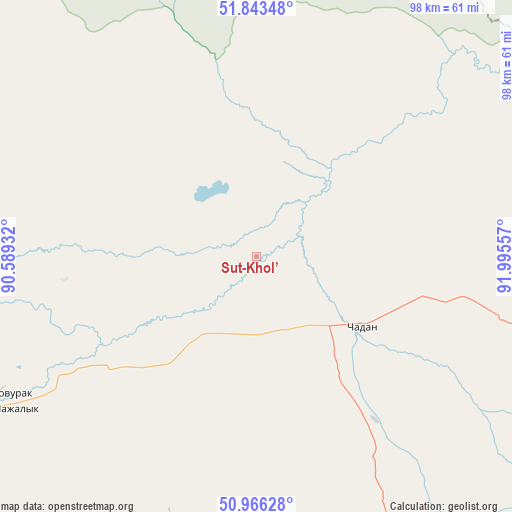
Sut-Khol’ GPS coordinates[2]
51° 24' 25.128" North, 91° 17' 32.784" East
| Map corner | latitude | longitude |
|---|---|---|
| Upper-left | 51.84348°, | 90.58932° |
| Center: | 51.40698°, | 91.29244° |
| Lower-right: | 50.96628°, | 91.99557° |
| Map W x H: | 97.5×97.5 km | = 60.6×60.6mi |
| max Lat: | 73.50819° ⇑73.1% North |
| Sut-Khol’: | 51.40698° |
| min Lat: | ⇓26.9% South 41.28413° |
| min Long | Sut-Khol’ | max Long |
| -179.12198° | 91.29244° | 179.35046° |
| W 86%⇐ | ⇒14% E |
Elevation
Elevation of Sut-Khol’ is 702 m = 2303 ft, and this is 499.4 m = 1638 ft above average elevation for this country.
| Max E: |
2518 m = 8261 ft | 3.9% |
| Sut-Khol’ | 702 m 2303 ft | |
| Avg. | 202.6 m = 665 ft | |
Min E: |
-28 m = -92 ft | 96.1% |
See also: Russia elevation on elevation.city.
Geographical zone
Sut-Khol’ is located in North temperate zone (between Tropic of Cancer and the Arctic Circle). Distance of this North polar circle is 1685.3 km =1047.2 mi to North.| Distance of | km | miles | from Sut-Khol’ |
|---|---|---|---|
| North Pole | 4291.1 | 2666.4 | to North |
| Arctic Circle | 1685.3 | 1047.2 | to North |
| Tropic Cancer | 3110 | 1932.5 | to South |
| Equator | 5715.9 | 3551.7 | to South |


Nearby cities:
15 places around Sut-Khol’: (largest is in red/bold)
• Abaza
161.2 km =100.2 mi,  329°
329°
• Ak-Dovurak
54.2 km =33.7 mi,  242°
242°
• Beya
184.9 km =114.9 mi,  351°
351°
• Chadan
24.4 km =15.2 mi,  124°
124°
• Cherëmushki
161.3 km =100.2 mi,  3°
3°
• Khandagayty
91.7 km =57 mi,  144°
144°
• Khovu-Aksy
171.1 km =106.3 mi,  100°
100°
• Kyzyl-Khaya
180.8 km =112.3 mi,  213°
213°
• Kyzyl-Mazhalyk
57.4 km =35.7 mi, 239°
• Mayna
178.3 km =110.8 mi, 4°
• Mugur-Aksy
128.9 km =80.1 mi, 207°
• Sayanogorsk
187 km =116.2 mi, 2°
• Shagonar
114.4 km =71.1 mi,  82°
82°
• Tashtyp
181.5 km =112.8 mi, 328°
• Teeli
87.4 km =54.3 mi, 240°
Sources, notices
• [Note1] Compared only with cities in Russia existing in our database
• [Src1] Map data: © OpenStreetMap contributors (CC-BY-SA)
• [Src2] Other city data from geonames.org with taken over terms of usage.
• [Src3] Geographical zone / Annual Mean Temperature by Robert A. Rohde @ Wikipedia
