Vårgårda geodata
Vårgårda (Västra Götaland) is a seat of a second-order administrative division; located in Sweden in Europe/Stockholm (GMT+2) time zone. With population of 5,384 people, there are 255 cities with bigger population in this country. Compared to other cities in Sweden, 59.7% of cities are located further ↑North; 84.5% of cities are located further →East and 73.1% of cities have lower elevation than Vårgårda. Note1


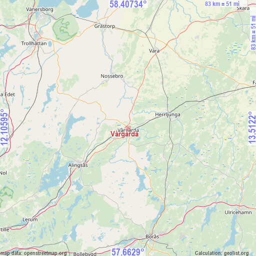
Vårgårda GPS coordinates[2]
58° 2' 13.416" North, 12° 48' 32.652" East
| Map corner | latitude | longitude |
|---|---|---|
| Upper-left | 58.40734°, | 12.10595° |
| Center: | 58.03706°, | 12.80907° |
| Lower-right: | 57.6629°, | 13.5122° |
| Map W x H: | 82.8×82.8 km | = 51.4×51.4mi |
| max Lat: | 67.85572° ⇑59.7% North |
| Vårgårda: | 58.03706° |
| min Lat: | ⇓40.3% South 55.34337° |
| min Long | Vårgårda | max Long |
| 11.1712° | 12.80907° | 24.13676° |
| W 15.5%⇐ | ⇒84.5% E |
Elevation
Elevation of Vårgårda is 109 m = 358 ft, and this is 26.4 m = 87 ft above average elevation for this country.
| Max E: |
663 m = 2175 ft | 26.9% |
| Vårgårda | 109 m 358 ft | |
| Avg. | 82.6 m = 271 ft | |
Min E: |
-1 m = -3 ft | 73.1% |
See also: Sweden elevation on elevation.city.
Geographical zone
Vårgårda is located in North temperate zone (between Tropic of Cancer and the Arctic Circle). Distance of this North polar circle is 948.1 km =589.1 mi to North.| Distance of | km | miles | from Vårgårda |
|---|---|---|---|
| North Pole | 3553.9 | 2208.3 | to North |
| Arctic Circle | 948.1 | 589.1 | to North |
| Tropic Cancer | 3847.2 | 2390.5 | to South |
| Equator | 6453.1 | 4009.8 | to South |


Nearby cities:
15 places around Vårgårda: (largest is in red/bold)
• Alingsås
20.1 km =12.5 mi,  233°
233°
• Annelund
16.6 km =10.3 mi,  109°
109°
• Fristad
26.4 km =16.4 mi,  153°
153°
• Frufällan
29.7 km =18.5 mi,  161°
161°
• Glommen
29.4 km =18.3 mi,  246°
246°
• Herrljunga
13.6 km =8.5 mi,  70°
70°
• Ingared
28.9 km =18 mi, 226°
• Jonstorp
6.8 km =4.2 mi, 232°
• Ljung
15.6 km =9.7 mi, 111°
• Nossebro
17.7 km =11 mi,  341°
341°
• Sandhult
30.1 km =18.7 mi,  179°
179°
• Sjövik
29.3 km =18.2 mi,  242°
242°
• Sollebrunn
18.5 km =11.5 mi,  298°
298°
• Vara
26.5 km =16.5 mi,  18°
18°
• Vedum
17.7 km =11 mi,  35°
35°
Sources, notices
• [Note1] Compared only with cities in Sweden existing in our database
• [Src1] Map data: © OpenStreetMap contributors (CC-BY-SA)
• [Src2] Other city data from geonames.org with taken over terms of usage.
• [Src3] Geographical zone / Annual Mean Temperature by Robert A. Rohde @ Wikipedia
