Sveg geodata
Sveg (Jämtland) is a seat of a second-order administrative division; located in Sweden in Europe/Stockholm (GMT+2) time zone. With population of 2,543 people, there are 448 cities with bigger population in this country. Compared to other cities in Sweden, 85.5% of cities are located further ↓South; 58.6% of cities are located further →East and 98.2% of cities have lower elevation than Sveg. Note1


Sveg GPS coordinates[2]
62° 2' 2.652" North, 14° 21' 56.772" East
| Map corner | latitude | longitude |
|---|---|---|
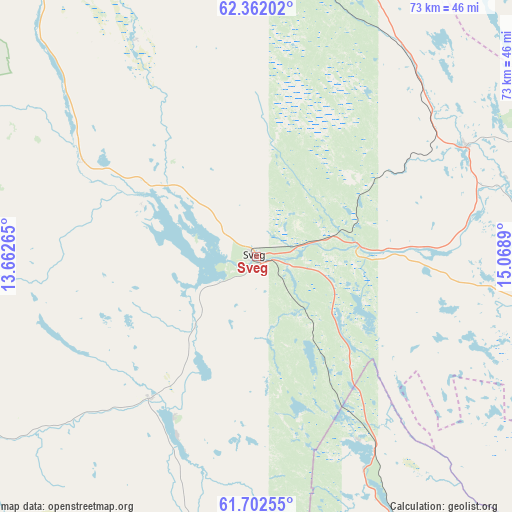
| Upper-left | 62.36202°, | 13.66265° |
| Center: | 62.03407°, | 14.36577° |
| Lower-right: | 61.70255°, | 15.0689° |
| Map W x H: | 73.3×73.3 km | = 45.5×45.5mi |
| max Lat: | 67.85572° ⇑14.5% North |
| Sveg: | 62.03407° |
| min Lat: | ⇓85.5% South 55.34337° |
| min Long | Sveg | max Long |
| 11.1712° | 14.36577° | 24.13676° |
| W 41.4%⇐ | ⇒58.6% E |
Elevation
Elevation of Sveg is 354 m = 1161 ft, and this is 271.4 m = 890 ft above average elevation for this country.
| Max E: |
663 m = 2175 ft | 1.8% |
| Sveg | 354 m 1161 ft | |
| Avg. | 82.6 m = 271 ft | |
Min E: |
-1 m = -3 ft | 98.2% |
See also: Sweden elevation on elevation.city.
Geographical zone
Sveg is located in North temperate zone (between Tropic of Cancer and the Arctic Circle). Distance of this North polar circle is 503.6 km =312.9 mi to North.| Distance of | km | miles | from Sveg |
|---|---|---|---|
| North Pole | 3109.5 | 1932.2 | to North |
| Arctic Circle | 503.6 | 312.9 | to North |
| Tropic Cancer | 4291.6 | 2666.7 | to South |
| Equator | 6897.5 | 4285.9 | to South |


Nearby cities:
15 places around Sveg: (largest is in red/bold)
• Bräcke
96.5 km =60 mi,  34°
34°
• Färila
81.6 km =50.7 mi,  108°
108°
• Hackås
98.4 km =61.1 mi,  4°
4°
• Hede
61.1 km =38 mi,  313°
313°
• Hoverberg
86.8 km =53.9 mi, 2°
• Idre
88.6 km =55.1 mi,  257°
257°
• Ljusdal
93.1 km =57.8 mi,  104°
104°
• Rot
88.9 km =55.2 mi,  191°
191°
• Svenstavik
81.5 km =50.6 mi, 2°
• Särna
74.5 km =46.3 mi,  239°
239°
• Tallåsen
88.3 km =54.9 mi, 102°
• Vemdalen
53 km =32.9 mi,  330°
330°
• Ytterhogdal
33.8 km =21 mi,  62°
62°
• Älvdalen
91.3 km =56.7 mi, 190°
• Ånge
86.3 km =53.6 mi,  50°
50°
Sources, notices
• [Note1] Compared only with cities in Sweden existing in our database
• [Src1] Map data: © OpenStreetMap contributors (CC-BY-SA)
• [Src2] Other city data from geonames.org with taken over terms of usage.
• [Src3] Geographical zone / Annual Mean Temperature by Robert A. Rohde @ Wikipedia
