Färila geodata
Färila (Gävleborg) is a populated place; located in Sweden in Europe/Stockholm (GMT+2) time zone. With population of 1,398 people, there are 686 cities with bigger population in this country. Compared to other cities in Sweden, 84.9% of cities are located further ↓South; 60.2% of cities are located further ←West and 82.4% of cities have lower elevation than Färila. Note1
Administrative division(s):
- Level 1: Gävleborg
- Level 2: Ljusdals Kommun
- Level 3: Färila
- Level 4: Färila socken


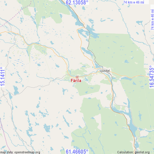
Färila GPS coordinates[2]
61° 48' 0.396" North, 15° 50' 39.192" East
| Map corner | latitude | longitude |
|---|---|---|
| Upper-left | 62.13058°, | 15.1411° |
| Center: | 61.80011°, | 15.84422° |
| Lower-right: | 61.46605°, | 16.54735° |
| Map W x H: | 73.9×73.9 km | = 45.9×45.9mi |
| max Lat: | 67.85572° ⇑15.1% North |
| Färila: | 61.80011° |
| min Lat: | ⇓84.9% South 55.34337° |
| min Long | Färila | max Long |
| 11.1712° | 15.84422° | 24.13676° |
| W 60.2%⇐ | ⇒39.8% E |
Elevation
Elevation of Färila is 156 m = 512 ft, and this is 73.4 m = 241 ft above average elevation for this country.
| Max E: |
663 m = 2175 ft | 17.6% |
| Färila | 156 m 512 ft | |
| Avg. | 82.6 m = 271 ft | |
Min E: |
-1 m = -3 ft | 82.4% |
See also: Sweden elevation on elevation.city.
Geographical zone
Färila is located in North temperate zone (between Tropic of Cancer and the Arctic Circle). Distance of this North polar circle is 529.6 km =329.1 mi to North.| Distance of | km | miles | from Färila |
|---|---|---|---|
| North Pole | 3135.5 | 1948.3 | to North |
| Arctic Circle | 529.6 | 329.1 | to North |
| Tropic Cancer | 4265.6 | 2650.5 | to South |
| Equator | 6871.5 | 4269.8 | to South |


Nearby cities:
15 places around Färila: (largest is in red/bold)
• Alfta
51.9 km =32.2 mi,  166°
166°
• Arbrå
46.8 km =29.1 mi,  142°
142°
• Bergsjö
67 km =41.6 mi,  72°
72°
• Bollnäs
58.1 km =36.1 mi,  149°
149°
• Delsbo
37.4 km =23.2 mi,  89°
89°
• Edsbyn
47.1 km =29.3 mi,  181°
181°
• Friggesund
38.5 km =23.9 mi, 73°
• Hudiksvall
66.8 km =41.5 mi,  96°
96°
• Iggesund
67.2 km =41.8 mi,  105°
105°
• Järvsö
19.3 km =12 mi,  118°
118°
• Ljusdal
13.4 km =8.3 mi,  76°
76°
• Näsviken
53.9 km =33.5 mi, 93°
• Sörforsa
60.4 km =37.5 mi, 97°
• Tallåsen
11.7 km =7.3 mi,  50°
50°
• Ytterhogdal
63 km =39.1 mi,  311°
311°
Sources, notices
• [Note1] Compared only with cities in Sweden existing in our database
• [Src1] Map data: © OpenStreetMap contributors (CC-BY-SA)
• [Src2] Other city data from geonames.org with taken over terms of usage.
• [Src3] Geographical zone / Annual Mean Temperature by Robert A. Rohde @ Wikipedia
