Si Satchanalai geodata
Si Satchanalai (Sukhothai) is a seat of a second-order administrative division; located in Thailand in Asia/Bangkok (GMT+7) time zone. With population of 25,942 people, there are 124 cities with bigger population in this country. Compared to other cities in Thailand, 84.3% of cities are located further ↓South; 80% of cities are located further →East and 51.6% of cities have higher elevation than Si Satchanalai. Note1


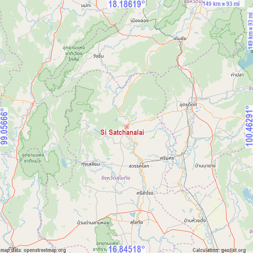
Si Satchanalai GPS coordinates[2]
17° 31' 0.912" North, 99° 45' 35.208" East
| Map corner | latitude | longitude |
|---|---|---|
| Upper-left | 18.18619°, | 99.05666° |
| Center: | 17.51692°, | 99.75978° |
| Lower-right: | 16.84518°, | 100.46291° |
| Map W x H: | 149.1×149.1 km | = 92.6×92.6mi |
| max Lat: | 20.43353° ⇑15.7% North |
| Si Satchanalai: | 17.51692° |
| min Lat: | ⇓84.3% South 5.77434° |
| min Long | Si Satchanalai | max Long |
| 97.93288° | 99.75978° | 105.49506° |
| W 20%⇐ | ⇒80% E |
Elevation
Elevation of Si Satchanalai is 77 m = 253 ft, and this is 48.5 m = 159 ft below average elevation for this country.
| Max E: |
1011 m = 3317 ft | 51.6% |
| Avg. | 125.5 m = 412 ft | |
| Si Satchanalai | 77 m = 253 ft | |
Min E: |
1 m = 3 ft | 48.4% |
See also: Thailand elevation on elevation.city.
Geographical zone
Si Satchanalai is located in North Torrid zone (between Equator and Tropic of Cancer). Distance of this Northern Tropic circle is 658.2 km =409 mi to North.| Distance of | km | miles | from Si Satchanalai |
|---|---|---|---|
| North Pole | 8059.4 | 5007.9 | to North |
| Arctic Circle | 5453.5 | 3388.6 | to North |
| Tropic Cancer | 658.2 | 409 | to North |
| Equator | 1947.7 | 1210.2 | to South |


Nearby cities:
15 places around Si Satchanalai: (largest is in red/bold)
• Ban Dan Lan Hoi
60 km =37.3 mi,  199°
199°
• Ban Na
55.6 km =34.5 mi,  182°
182°
• Lap Lae
33.2 km =20.6 mi,  63°
63°
• Laplae
33.2 km =20.6 mi, 63°
• Phichai
43 km =26.7 mi,  126°
126°
• Sawankhalok
23.6 km =14.7 mi,  161°
161°
• Si Nakhon
30.4 km =18.9 mi, 127°
• Si Samrong
40.7 km =25.3 mi, 164°
• Sop Prap
60.3 km =37.5 mi,  312°
312°
• Sukhothai
57 km =35.4 mi,  173°
173°
• Thoen
58.6 km =36.4 mi,  280°
280°
• Thung Saliam
30.3 km =18.8 mi,  224°
224°
• Tron
37.6 km =23.4 mi,  95°
95°
• Uttaradit
37.5 km =23.3 mi,  71°
71°
• Wang Chin
43.4 km =27 mi,  338°
338°
Sources, notices
• [Note1] Compared only with cities in Thailand existing in our database
• [Src1] Map data: © OpenStreetMap contributors (CC-BY-SA)
• [Src2] Other city data from geonames.org with taken over terms of usage.
• [Src3] Geographical zone / Annual Mean Temperature by Robert A. Rohde @ Wikipedia
