Chanuman geodata
Chanuman (Amnat Charoen) is a seat of a second-order administrative division; located in Thailand in Asia/Bangkok (GMT+7) time zone. In our database, there are 331 cities with bigger population. Compared to other cities in Thailand, 68.9% of cities are located further ↓South; 98.5% of cities are located further ←West and 62.4% of cities have lower elevation than Chanuman. Note1


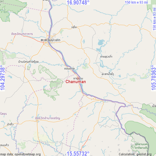
Chanuman GPS coordinates[2]
16° 14' 0.816" North, 105° 0' 1.8" East
| Map corner | latitude | longitude |
|---|---|---|
| Upper-left | 16.90748°, | 104.29738° |
| Center: | 16.23356°, | 105.0005° |
| Lower-right: | 15.55732°, | 105.70363° |
| Map W x H: | 150.1×150.1 km | = 93.3×93.3mi |
| max Lat: | 20.43353° ⇑31.1% North |
| Chanuman: | 16.23356° |
| min Lat: | ⇓68.9% South 5.77434° |
| min Long | Chanuman | max Long |
| 97.93288° | 105.0005° | 105.49506° |
| W 98.5%⇐ | ⇒1.5% E |
Elevation
Elevation of Chanuman is 154 m = 505 ft, and this is 28.5 m = 94 ft above average elevation for this country.
| Max E: |
1011 m = 3317 ft | 37.6% |
| Chanuman | 154 m 505 ft | |
| Avg. | 125.5 m = 412 ft | |
Min E: |
1 m = 3 ft | 62.4% |
See also: Thailand elevation on elevation.city.
Geographical zone
Chanuman is located in North Torrid zone (between Equator and Tropic of Cancer). Distance of this Northern Tropic circle is 800.9 km =497.7 mi to North.| Distance of | km | miles | from Chanuman |
|---|---|---|---|
| North Pole | 8202.1 | 5096.5 | to North |
| Arctic Circle | 5596.2 | 3477.3 | to North |
| Tropic Cancer | 800.9 | 497.7 | to North |
| Equator | 1805 | 1121.6 | to South |


Nearby cities:
15 places around Chanuman: (largest is in red/bold)
• Amnat Charoen
57.6 km =35.8 mi,  223°
223°
• Don Tan
12.6 km =7.8 mi,  317°
317°
• Khemarat
31.5 km =19.6 mi,  132°
132°
• Kut Khaopun
49 km =30.4 mi,  180°
180°
• Loeng Nok Tha
47.6 km =29.6 mi,  266°
266°
• Mukdahan
45.5 km =28.3 mi, 319°
• Na Tan
48.7 km =30.3 mi,  140°
140°
• Nikhom Kham Soi
50.3 km =31.3 mi,  287°
287°
• Pathum Ratchawongsa
39.3 km =24.4 mi,  194°
194°
• Phana
63.5 km =39.5 mi,  195°
195°
• Pho Sai
53.2 km =33.1 mi,  148°
148°
• Senangkhanikhom
41.4 km =25.7 mi,  238°
238°
• Thai Charoen
62.7 km =39 mi,  252°
252°
• Trakan Phut Phon
69.2 km =43 mi, 178°
• Wan Yai
61 km =37.9 mi,  333°
333°
Sources, notices
• [Note1] Compared only with cities in Thailand existing in our database
• [Src1] Map data: © OpenStreetMap contributors (CC-BY-SA)
• [Src2] Other city data from geonames.org with taken over terms of usage.
• [Src3] Geographical zone / Annual Mean Temperature by Robert A. Rohde @ Wikipedia
