Turgut geodata
Turgut (Muğla) is a seat of a third-order administrative division; located in Turkey in Europe/Istanbul (GMT+3) time zone. With population of 2,065 people, there are 945 cities with bigger population in this country. Compared to other cities in Turkey, 78.2% of cities are located further ↑North; 90% of cities are located further →East and 58.3% of cities have higher elevation than Turgut. Note1


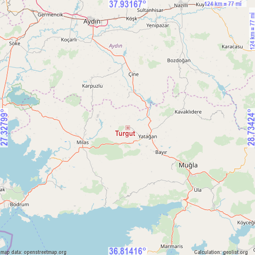
Turgut GPS coordinates[2]
37° 22' 30" North, 28° 1' 51.996" East
| Map corner | latitude | longitude |
|---|---|---|
| Upper-left | 37.93167°, | 27.32799° |
| Center: | 37.375°, | 28.03111° |
| Lower-right: | 36.81416°, | 28.73424° |
| Map W x H: | 124.3×124.3 km | = 77.2×77.2mi |
| max Lat: | 42.02683° ⇑78.2% North |
| Turgut: | 37.375° |
| min Lat: | ⇓21.8% South 35.9025° |
| min Long | Turgut | max Long |
| 25.90902° | 28.03111° | 44.60099° |
| W 10%⇐ | ⇒90% E |
Elevation
Elevation of Turgut is 529 m = 1736 ft, and this is 188.4 m = 618 ft below average elevation for this country.
| Max E: |
2682 m = 8799 ft | 58.3% |
| Avg. | 717.4 m = 2354 ft | |
| Turgut | 529 m = 1736 ft | |
Min E: |
0 m = 0 ft | 41.7% |
See also: Turkey elevation on elevation.city.
Geographical zone
Turgut is located in North temperate zone (between Tropic of Cancer and the Arctic Circle). Distance of this Northern Tropic circle is 1549.8 km =963 mi to South.| Distance of | km | miles | from Turgut |
|---|---|---|---|
| North Pole | 5851.4 | 3635.9 | to North |
| Arctic Circle | 3245.5 | 2016.7 | to North |
| Tropic Cancer | 1549.8 | 963 | to South |
| Equator | 4155.7 | 2582.2 | to South |


Nearby cities:
15 places around Turgut: (largest is in red/bold)
• Akçaova
14.2 km =8.8 mi,  358°
358°
• Bayır
20.3 km =12.6 mi,  125°
125°
• Bozarmut
14.3 km =8.9 mi,  120°
120°
• Karpuzlu
26.7 km =16.6 mi,  319°
319°
• Kavaklıdere
30.3 km =18.8 mi,  75°
75°
• Kiulukioi
41 km =25.5 mi,  248°
248°
• Menteşe
35.5 km =22.1 mi,  144°
144°
• Milas
22.8 km =14.2 mi, 253°
• Muğla
34.4 km =21.4 mi, 120°
• Selimiye
33.3 km =20.7 mi,  274°
274°
• Yatağan
10.6 km =6.6 mi,  111°
111°
• Yerkesik
34.7 km =21.6 mi, 139°
• Yeşilyurt
29.6 km =18.4 mi, 133°
• Çine
26.5 km =16.5 mi,  5°
5°
• Ören
38.1 km =23.7 mi,  188°
188°
Sources, notices
• [Note1] Compared only with cities in Turkey existing in our database
• [Src1] Map data: © OpenStreetMap contributors (CC-BY-SA)
• [Src2] Other city data from geonames.org with taken over terms of usage.
• [Src3] Geographical zone / Annual Mean Temperature by Robert A. Rohde @ Wikipedia
