Zalishchyky geodata
Zalishchyky (Ternopil) is a seat of a second-order administrative division; located in Ukraine in Europe/Kiev (GMT+3) time zone. With population of 9,749 people, there are 369 cities with bigger population in this country. Compared to other cities in Ukraine, 58.8% of cities are located further ↓South; 82.3% of cities are located further →East and 62.9% of cities have lower elevation than Zalishchyky. Note1


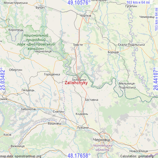
Zalishchyky GPS coordinates[2]
48° 38' 35.916" North, 25° 44' 16.584" East
| Map corner | latitude | longitude |
|---|---|---|
| Upper-left | 49.10576°, | 25.03482° |
| Center: | 48.64331°, | 25.73794° |
| Lower-right: | 48.17658°, | 26.44107° |
| Map W x H: | 103.3×103.3 km | = 64.2×64.2mi |
| max Lat: | 52.18903° ⇑41.2% North |
| Zalishchyky: | 48.64331° |
| min Lat: | ⇓58.8% South 44.39214° |
| min Long | Zalishchyky | max Long |
| 22.20555° | 25.73794° | 40.13222° |
| W 17.7%⇐ | ⇒82.3% E |
Elevation
Elevation of Zalishchyky is 179 m = 587 ft, and this is 23.2 m = 76 ft above average elevation for this country.
| Max E: |
886 m = 2907 ft | 37.1% |
| Zalishchyky | 179 m 587 ft | |
| Avg. | 155.8 m = 511 ft | |
Min E: |
-3 m = -10 ft | 62.9% |
See also: Ukraine elevation on elevation.city.
Geographical zone
Zalishchyky is located in North temperate zone (between Tropic of Cancer and the Arctic Circle). Distance of this North polar circle is 1992.5 km =1238.1 mi to North.| Distance of | km | miles | from Zalishchyky |
|---|---|---|---|
| North Pole | 4598.4 | 2857.3 | to North |
| Arctic Circle | 1992.5 | 1238.1 | to North |
| Tropic Cancer | 2802.7 | 1741.5 | to South |
| Equator | 5408.6 | 3360.7 | to South |


Nearby cities:
15 places around Zalishchyky: (largest is in red/bold)
• Borshchiv
28.6 km =17.8 mi,  51°
51°
• Chernelytsya
29.7 km =18.5 mi,  309°
309°
• Chernyatyn
21.4 km =13.3 mi,  275°
275°
• Horodenka
17.7 km =11 mi, 280°
• Kadubivtsi
7 km =4.3 mi,  161°
161°
• Kitsman’
22.3 km =13.9 mi,  174°
174°
• Kostryzhivka
2.2 km =1.4 mi,  304°
304°
• Luzhany
31.1 km =19.3 mi,  175°
175°
• Nyrkiv
21.6 km =13.4 mi,  332°
332°
• Shypyntsi
29.6 km =18.4 mi, 178°
• Sniatyn
25.1 km =15.6 mi,  209°
209°
• Stetseva
17.5 km =10.9 mi,  222°
222°
• Tovste
22.6 km =14 mi,  357°
357°
• Verenchanka
10.8 km =6.7 mi, 177°
• Zastavna
15.5 km =9.6 mi,  149°
149°
Sources, notices
• [Note1] Compared only with cities in Ukraine existing in our database
• [Src1] Map data: © OpenStreetMap contributors (CC-BY-SA)
• [Src2] Other city data from geonames.org with taken over terms of usage.
• [Src3] Geographical zone / Annual Mean Temperature by Robert A. Rohde @ Wikipedia
