Sofiyivka geodata
Sofiyivka (Dnipropetrovsk) is a seat of a second-order administrative division; located in Ukraine in Europe/Kiev (GMT+3) time zone. With population of 8,017 people, there are 442 cities with bigger population in this country. Compared to other cities in Ukraine, 55.8% of cities are located further ↑North; 59.8% of cities are located further ←West and 59.1% of cities have higher elevation than Sofiyivka. Note1


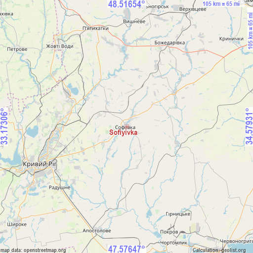
Sofiyivka GPS coordinates[2]
48° 2' 55.14" North, 33° 52' 34.248" East
| Map corner | latitude | longitude |
|---|---|---|
| Upper-left | 48.51654°, | 33.17306° |
| Center: | 48.04865°, | 33.87618° |
| Lower-right: | 47.57647°, | 34.57931° |
| Map W x H: | 104.5×104.5 km | = 64.9×64.9mi |
| max Lat: | 52.18903° ⇑55.8% North |
| Sofiyivka: | 48.04865° |
| min Lat: | ⇓44.2% South 44.39214° |
| min Long | Sofiyivka | max Long |
| 22.20555° | 33.87618° | 40.13222° |
| W 59.8%⇐ | ⇒40.2% E |
Elevation
Elevation of Sofiyivka is 108 m = 354 ft, and this is 47.8 m = 157 ft below average elevation for this country.
| Max E: |
886 m = 2907 ft | 59.1% |
| Avg. | 155.8 m = 511 ft | |
| Sofiyivka | 108 m = 354 ft | |
Min E: |
-3 m = -10 ft | 40.9% |
See also: Ukraine elevation on elevation.city.
Geographical zone
Sofiyivka is located in North temperate zone (between Tropic of Cancer and the Arctic Circle). Distance of this North polar circle is 2058.7 km =1279.2 mi to North.| Distance of | km | miles | from Sofiyivka |
|---|---|---|---|
| North Pole | 4664.6 | 2898.4 | to North |
| Arctic Circle | 2058.7 | 1279.2 | to North |
| Tropic Cancer | 2736.6 | 1700.4 | to South |
| Equator | 5342.5 | 3319.7 | to South |


Nearby cities:
15 places around Sofiyivka: (largest is in red/bold)
• Apostolove
44.9 km =27.9 mi,  195°
195°
• Chortomlyk
51.3 km =31.9 mi,  157°
157°
• Krynychky
56.9 km =35.4 mi,  50°
50°
• Kryvyi Rih
40 km =24.9 mi,  247°
247°
• Lozuvatka
43.9 km =27.3 mi,  271°
271°
• Nikopol
65.8 km =40.9 mi,  143°
143°
• Novopokrovka
54.3 km =33.7 mi,  88°
88°
• Novovorontsovka
61 km =37.9 mi,  177°
177°
• Ordzhonikidze
44.5 km =27.7 mi, 162°
• Petrove
55.3 km =34.4 mi,  303°
303°
• Piatykhatky
42.4 km =26.3 mi,  343°
343°
• Sholokhove
41 km =25.5 mi, 163°
• Shyroke
60.9 km =37.8 mi,  229°
229°
• Vyshneve
43.2 km =26.8 mi,  3°
3°
• Zhovti Vody
43 km =26.7 mi,  320°
320°
Sources, notices
• [Note1] Compared only with cities in Ukraine existing in our database
• [Src1] Map data: © OpenStreetMap contributors (CC-BY-SA)
• [Src2] Other city data from geonames.org with taken over terms of usage.
• [Src3] Geographical zone / Annual Mean Temperature by Robert A. Rohde @ Wikipedia
