Dvorichna geodata
Dvorichna (Kharkiv) is a seat of a second-order administrative division; located in Ukraine in Europe/Kiev (GMT+3) time zone. With population of 4,322 people, there are 718 cities with bigger population in this country. Compared to other cities in Ukraine, 80.9% of cities are located further ↓South; 93.2% of cities are located further ←West and 66.1% of cities have higher elevation than Dvorichna. Note1


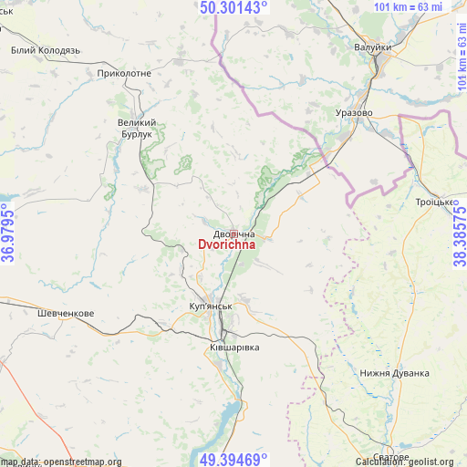
Dvorichna GPS coordinates[2]
49° 51' 0.684" North, 37° 40' 57.432" East
| Map corner | latitude | longitude |
|---|---|---|
| Upper-left | 50.30143°, | 36.9795° |
| Center: | 49.85019°, | 37.68262° |
| Lower-right: | 49.39469°, | 38.38575° |
| Map W x H: | 100.8×100.8 km | = 62.6×62.6mi |
| max Lat: | 52.18903° ⇑19.1% North |
| Dvorichna: | 49.85019° |
| min Lat: | ⇓80.9% South 44.39214° |
| min Long | Dvorichna | max Long |
| 22.20555° | 37.68262° | 40.13222° |
| W 93.2%⇐ | ⇒6.8% E |
Elevation
Elevation of Dvorichna is 86 m = 282 ft, and this is 69.8 m = 229 ft below average elevation for this country.
| Max E: |
886 m = 2907 ft | 66.1% |
| Avg. | 155.8 m = 511 ft | |
| Dvorichna | 86 m = 282 ft | |
Min E: |
-3 m = -10 ft | 33.9% |
See also: Ukraine elevation on elevation.city.
Geographical zone
Dvorichna is located in North temperate zone (between Tropic of Cancer and the Arctic Circle). Distance of this North polar circle is 1858.4 km =1154.8 mi to North.| Distance of | km | miles | from Dvorichna |
|---|---|---|---|
| North Pole | 4464.2 | 2773.9 | to North |
| Arctic Circle | 1858.4 | 1154.8 | to North |
| Tropic Cancer | 2936.9 | 1824.9 | to South |
| Equator | 5542.8 | 3444.1 | to South |


Nearby cities:
15 places around Dvorichna: (largest is in red/bold)
• Borova
52.7 km =32.7 mi,  184°
184°
• Chuhuyiv
71.3 km =44.3 mi,  268°
268°
• Kivsharivka
24.4 km =15.2 mi, 179°
• Kochetok
67.8 km =42.1 mi, 272°
• Kupjansk
16.3 km =10.1 mi,  197°
197°
• Malynivka
68.2 km =42.4 mi, 266°
• Nyzhnya Duvanka
46.1 km =28.6 mi,  129°
129°
• Pechenihy
53.7 km =33.4 mi, 272°
• Prykolotne
42.3 km =26.3 mi,  325°
325°
• Savyntsi
66.9 km =41.6 mi,  221°
221°
• Shevchenkove
40.4 km =25.1 mi,  244°
244°
• Staryy Saltiv
68.7 km =42.7 mi,  291°
291°
• Svatove
59.4 km =36.9 mi,  145°
145°
• Troyits’ke
44.3 km =27.5 mi,  80°
80°
• Velykyy Burluk
31.8 km =19.8 mi,  317°
317°
Sources, notices
• [Note1] Compared only with cities in Ukraine existing in our database
• [Src1] Map data: © OpenStreetMap contributors (CC-BY-SA)
• [Src2] Other city data from geonames.org with taken over terms of usage.
• [Src3] Geographical zone / Annual Mean Temperature by Robert A. Rohde @ Wikipedia
