Marion geodata
Marion (Arkansas) is a seat of a second-order administrative division; located in United States in America/Chicago (GMT-5) time zone. With population of 12,292 people, there are 3825 cities with bigger population in this country. Compared to other cities in United States, 74.2% of cities are located further ↑North; 59.6% of cities are located further →East and 75.5% of cities have higher elevation than Marion. Note1
Administrative division(s):
- Level 1: Arkansas
- Level 2: Crittenden County
- Level 3: Township of Jasper


Marion GPS coordinates[2]
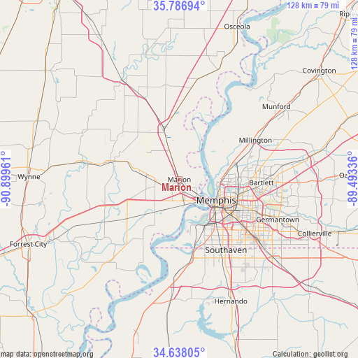
35° 12' 52.308" North, 90° 11' 47.328" West
| Map corner | latitude | longitude |
|---|---|---|
| Upper-left | 35.78694°, | -90.89961° |
| Center: | 35.21453°, | -90.19648° |
| Lower-right: | 34.63805°, | -89.49336° |
| Map W x H: | 127.7×127.7 km | = 79.3×79.3mi |
| max Lat: | 71.29058° ⇑74.2% North |
| Marion: | 35.21453° |
| min Lat: | ⇓25.8% South 19.06759° |
| min Long | Marion | max Long |
| -171.73463° | -90.19648° | -66.98998° |
| W 40.4%⇐ | ⇒59.6% E |
Elevation
Elevation of Marion is 69 m = 226 ft, and this is 225.8 m = 741 ft below average elevation for this country.
| Max E: |
3189 m = 10463 ft | 75.5% |
| Avg. | 294.8 m = 967 ft | |
| Marion | 69 m = 226 ft | |
Min E: |
-60 m = -197 ft | 24.5% |
See also: United States elevation on elevation.city.
Geographical zone
Marion is located in North temperate zone (between Tropic of Cancer and the Arctic Circle). Distance of this Northern Tropic circle is 1309.6 km =813.7 mi to South.| Distance of | km | miles | from Marion |
|---|---|---|---|
| North Pole | 6091.6 | 3785.1 | to North |
| Arctic Circle | 3485.7 | 2165.9 | to North |
| Tropic Cancer | 1309.6 | 813.7 | to South |
| Equator | 3915.5 | 2433 | to South |


Nearby cities:
15 places around Marion: (largest is in red/bold)
• Bartlett
29.3 km =18.2 mi,  92°
92°
• Earle
25.5 km =15.8 mi,  285°
285°
• Germantown
37.9 km =23.5 mi,  112°
112°
• Horn Lake
32.4 km =20.1 mi,  152°
152°
• Joiner
32.9 km =20.4 mi,  7°
7°
• Lynchburg
29.5 km =18.3 mi,  161°
161°
• Memphis
15.2 km =9.4 mi,  118°
118°
• Millington
30.6 km =19 mi,  62°
62°
• New South Memphis
19.1 km =11.9 mi,  138°
138°
• Parkin
34.5 km =21.4 mi,  279°
279°
• Southaven
30.1 km =18.7 mi, 146°
• Turrell
19.2 km =11.9 mi,  343°
343°
• Tyronza
34 km =21.1 mi,  334°
334°
• Walls
28.8 km =17.9 mi,  172°
172°
• West Memphis
7.6 km =4.7 mi, 171°
Sources, notices
• [Note1] Compared only with cities in United States existing in our database
• [Src1] Map data: © OpenStreetMap contributors (CC-BY-SA)
• [Src2] Other city data from geonames.org with taken over terms of usage.
• [Src3] Geographical zone / Annual Mean Temperature by Robert A. Rohde @ Wikipedia
