Bù Đốp geodata
Bù Đốp (Bình Phước) is a seat of a second-order administrative division; located in Vietnam in Asia/Ho_Chi_Minh (GMT+7) time zone. In our database, there are 94 cities with bigger population. Compared to other cities in Vietnam, 67.7% of cities are located further ↑North; 72.1% of cities are located further ←West and 76.2% of cities have lower elevation than Bù Đốp. Note1


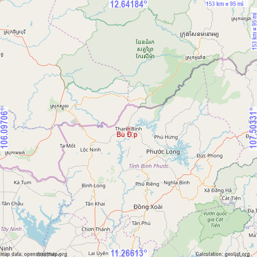
Bù Đốp GPS coordinates[2]
11° 57' 17.496" North, 106° 48' 0.648" East
| Map corner | latitude | longitude |
|---|---|---|
| Upper-left | 12.64184°, | 106.09706° |
| Center: | 11.95486°, | 106.80018° |
| Lower-right: | 11.26613°, | 107.50331° |
| Map W x H: | 153×153 km | = 95.1×95.1mi |
| max Lat: | 23.27841° ⇑67.7% North |
| Bù Đốp: | 11.95486° |
| min Lat: | ⇓32.3% South 8.65724° |
| min Long | Bù Đốp | max Long |
| 102.4579° | 106.80018° | 112.72541° |
| W 72.1%⇐ | ⇒27.9% E |
Elevation
Elevation of Bù Đốp is 113 m = 371 ft, and this is 16.5 m = 54 ft below average elevation for this country.
| Max E: |
1592 m = 5223 ft | 23.8% |
| Avg. | 129.5 m = 425 ft | |
| Bù Đốp | 113 m = 371 ft | |
Min E: |
-1 m = -3 ft | 76.2% |
See also: Vietnam elevation on elevation.city.
Geographical zone
Bù Đốp is located in North Torrid zone (between Equator and Tropic of Cancer). Distance of this Northern Tropic circle is 1276.7 km =793.3 mi to North.| Distance of | km | miles | from Bù Đốp |
|---|---|---|---|
| North Pole | 8677.8 | 5392.1 | to North |
| Arctic Circle | 6071.9 | 3772.9 | to North |
| Tropic Cancer | 1276.7 | 793.3 | to North |
| Equator | 1329.3 | 826 | to South |


Nearby cities:
15 places around Bù Đốp: (largest is in red/bold)
• Bình Long
40.2 km =25 mi,  211°
211°
• Chơn Thành
61.2 km =38 mi,  197°
197°
• Don Luan
47.6 km =29.6 mi,  169°
169°
• Dương Minh Châu
88.7 km =55.1 mi,  224°
224°
• Dầu Tiếng
89.7 km =55.7 mi, 212°
• Gia Nghĩa
97 km =60.3 mi,  86°
86°
• Lộc Ninh
25.9 km =16.1 mi,  241°
241°
• Tân Biên
97.2 km =60.4 mi, 242°
• Tân Châu
81.7 km =50.8 mi, 236°
• Tân Phú
56.5 km =35.1 mi, 172°
• Uyen Hung
96.8 km =60.1 mi,  180°
180°
• Đạ Tẻh
89.9 km =55.9 mi,  123°
123°
• Đắk Song
94.1 km =58.5 mi,  69°
69°
• Đồng Nai
74.3 km =46.2 mi, 124°
• Đức Phong
50.8 km =31.6 mi,  108°
108°
Sources, notices
• [Note1] Compared only with cities in Vietnam existing in our database
• [Src1] Map data: © OpenStreetMap contributors (CC-BY-SA)
• [Src2] Other city data from geonames.org with taken over terms of usage.
• [Src3] Geographical zone / Annual Mean Temperature by Robert A. Rohde @ Wikipedia
