Bi’r Ḩāt geodata
Bi’r Ḩāt (Al Mahrah) is a seat of a second-order administrative division; located in Yemen in Asia/Aden (GMT+3) time zone. In our database, there are 51 cities with bigger population. Compared to other cities in Yemen, 99% of cities are located further ↓South; 97.7% of cities are located further ←West and 71.8% of cities have higher elevation than Bi’r Ḩāt. Note1


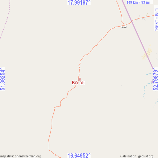
Bi’r Ḩāt GPS coordinates[2]
17° 19' 19.092" North, 52° 5' 44.376" East
| Map corner | latitude | longitude |
|---|---|---|
| Upper-left | 17.99197°, | 51.39254° |
| Center: | 17.32197°, | 52.09566° |
| Lower-right: | 16.64952°, | 52.79879° |
| Map W x H: | 149.3×149.3 km | = 92.8×92.8mi |
| max Lat: | 17.76999° ⇑1% North |
| Bi’r Ḩāt: | 17.32197° |
| min Lat: | ⇓99% South 12.18576° |
| min Long | Bi’r Ḩāt | max Long |
| 42.67107° | 52.09566° | 54.01895° |
| W 97.7%⇐ | ⇒2.3% E |
Elevation
Elevation of Bi’r Ḩāt is 752 m = 2467 ft, and this is 552.8 m = 1814 ft below average elevation for this country.
| Max E: |
2791 m = 9157 ft | 71.8% |
| Avg. | 1304.8 m = 4281 ft | |
| Bi’r Ḩāt | 752 m = 2467 ft | |
Min E: |
4 m = 13 ft | 28.2% |
See also: Yemen elevation on elevation.city.
Geographical zone
Bi’r Ḩāt is located in North Torrid zone (between Equator and Tropic of Cancer). Distance of this Northern Tropic circle is 679.9 km =422.5 mi to North.| Distance of | km | miles | from Bi’r Ḩāt |
|---|---|---|---|
| North Pole | 8081 | 5021.3 | to North |
| Arctic Circle | 5475.2 | 3402.1 | to North |
| Tropic Cancer | 679.9 | 422.5 | to North |
| Equator | 1926 | 1196.8 | to South |


Nearby cities:
15 places around Bi’r Ḩāt: (largest is in red/bold)
• Ad Dīs ash Sharqīyah
353 km =219.3 mi,  220°
220°
• Al Bilād
326.3 km =202.8 mi,  246°
246°
• Al Ghayz̧ah
124.2 km =77.2 mi,  176°
176°
• Al Qurḩ
92.3 km =57.4 mi, 224°
• Ar Raydah
307.3 km =190.9 mi,  214°
214°
• As Salāsil
359.7 km =223.5 mi, 254°
• Daḩasuways
229.7 km =142.7 mi, 219°
• Qishn
215.7 km =134 mi,  191°
191°
• Rumāh
161.7 km =100.5 mi,  275°
275°
• Sayḩūt
251.7 km =156.4 mi,  201°
201°
• Shiḩan as Suflá
65 km =40.4 mi,  39°
39°
• Tarīm
358.6 km =222.8 mi, 246°
• Thamūd
231 km =143.5 mi,  269°
269°
• Ḩawf
125.7 km =78.1 mi,  127°
127°
• Ḩaşwayn
192.5 km =119.6 mi, 179°
Sources, notices
• [Note1] Compared only with cities in Yemen existing in our database
• [Src1] Map data: © OpenStreetMap contributors (CC-BY-SA)
• [Src2] Other city data from geonames.org with taken over terms of usage.
• [Src3] Geographical zone / Annual Mean Temperature by Robert A. Rohde @ Wikipedia
