Muḩammad Āghah Wuluswālī geodata
Muḩammad Āghah Wuluswālī (Logar) is a seat of a second-order administrative division; located in Afghanistan in Asia/Kabul (GMT+4.5) time zone. In our database, there are 93 cities with bigger population. Compared to other cities in Afghanistan, 62.7% of cities are located further ↑North; 61.4% of cities are located further ←West and 68.2% of cities have lower elevation than Muḩammad Āghah Wuluswālī. Note1
Current local time in Muḩammad Āghah Wuluswālī:
12:34 AM, WednesdayDifference from your time zone: hours


Muḩammad Āghah Wuluswālī GPS coordinates[2]
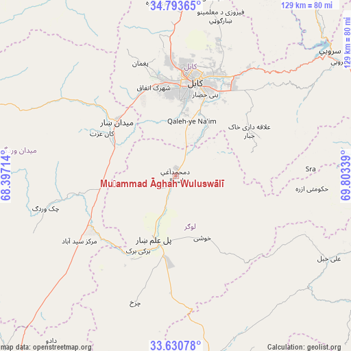
34° 12' 51.192" North, 69° 6' 0.936" East
| Map corner | latitude | longitude |
|---|---|---|
| Upper-left | 34.79365°, | 68.39714° |
| Center: | 34.21422°, | 69.10026° |
| Lower-right: | 33.63078°, | 69.80339° |
| Map W x H: | 129.3×129.3 km | = 80.3×80.3mi |
| max Lat: | 38.4435° ⇑62.7% North |
| Muḩammad Āghah Wuluswālī: | 34.21422° |
| min Lat: | ⇓37.3% South 30.15° |
| min Long | Muḩammad Āgh | max Long |
| 61.06667° | 69.10026° | 72.318° |
| W 61.4%⇐ | ⇒38.6% E |
Elevation
Elevation of Muḩammad Āghah Wuluswālī is 1853 m = 6079 ft, and this is 434.6 m = 1426 ft above average elevation for this country.
| Max E: |
3068 m = 10066 ft | 31.8% |
| Muḩammad Āghah Wuluswālī | 1853 m 6079 ft | |
| Avg. | 1418.4 m = 4654 ft | |
Min E: |
254 m = 833 ft | 68.2% |
See also: Afghanistan elevation on elevation.city.
Geographical zone
Muḩammad Āghah Wuluswālī is located in North temperate zone (between Tropic of Cancer and the Arctic Circle). Distance of this Northern Tropic circle is 1198.3 km =744.6 mi to South.| Distance of | km | miles | from Muḩammad Āghah Wuluswālī |
|---|---|---|---|
| North Pole | 6202.8 | 3854.2 | to North |
| Arctic Circle | 3596.9 | 2235 | to North |
| Tropic Cancer | 1198.3 | 744.6 | to South |
| Equator | 3804.3 | 2363.9 | to South |


Nearby cities:
15 places around Muḩammad Āghah Wuluswālī: (largest is in red/bold)
• Bagrāmī
34.9 km =21.7 mi,  27°
27°
• Baraki Barak
30.8 km =19.1 mi,  206°
206°
• Chakaray
34.1 km =21.2 mi,  65°
65°
• Chandal Bā’ī
43.3 km =26.9 mi,  342°
342°
• Charkh
48.7 km =30.3 mi,  197°
197°
• Jalrēz
49.9 km =31 mi,  304°
304°
• Kabul
35.5 km =22.1 mi,  10°
10°
• Khōshī
26.2 km =16.3 mi,  156°
156°
• Markaz-e Sayyidābād
42.8 km =26.6 mi,  236°
236°
• Maydanshakhr
29.5 km =18.3 mi,  313°
313°
• Paghmān
43.7 km =27.2 mi, 341°
• Pul-e Sangī
45.3 km =28.1 mi,  18°
18°
• Pul-e ‘Alam
25.4 km =15.8 mi, 196°
• Qal‘ah-ye Na‘īm
21.5 km =13.4 mi, 16°
• Ḩukūmatī Azrah
50.4 km =31.3 mi,  95°
95°
Sources, notices
• [Note1] Compared only with cities in Afghanistan existing in our database
• [Src1] Map data: © OpenStreetMap contributors (CC-BY-SA)
• [Src2] Other city data from geonames.org with taken over terms of usage.
• [Src3] Geographical zone / Annual Mean Temperature by Robert A. Rohde @ Wikipedia
