Chimtāl geodata
Chimtāl (Balkh) is a seat of a second-order administrative division; located in Afghanistan in Asia/Kabul (GMT+4.5) time zone. In our database, there are 93 cities with bigger population. Compared to other cities in Afghanistan, 83.6% of cities are located further ↓South; 63.7% of cities are located further →East and 94.5% of cities have higher elevation than Chimtāl. Note1


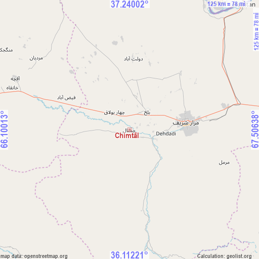
Chimtāl GPS coordinates[2]
36° 40' 41.448" North, 66° 48' 11.7" East
| Map corner | latitude | longitude |
|---|---|---|
| Upper-left | 37.24002°, | 66.10013° |
| Center: | 36.67818°, | 66.80325° |
| Lower-right: | 36.11221°, | 67.50638° |
| Map W x H: | 125.4×125.4 km | = 77.9×77.9mi |
| max Lat: | 38.4435° ⇑16.4% North |
| Chimtāl: | 36.67818° |
| min Lat: | ⇓83.6% South 30.15° |
| min Long | Chimtāl | max Long |
| 61.06667° | 66.80325° | 72.318° |
| W 36.3%⇐ | ⇒63.7% E |
Elevation
Elevation of Chimtāl is 355 m = 1165 ft, and this is 1063.4 m = 3489 ft below average elevation for this country.
| Max E: |
3068 m = 10066 ft | 94.5% |
| Avg. | 1418.4 m = 4654 ft | |
| Chimtāl | 355 m = 1165 ft | |
Min E: |
254 m = 833 ft | 5.5% |
See also: Afghanistan elevation on elevation.city.
Geographical zone
Chimtāl is located in North temperate zone (between Tropic of Cancer and the Arctic Circle). Distance of this Northern Tropic circle is 1472.3 km =914.8 mi to South.| Distance of | km | miles | from Chimtāl |
|---|---|---|---|
| North Pole | 5928.8 | 3684 | to North |
| Arctic Circle | 3322.9 | 2064.8 | to North |
| Tropic Cancer | 1472.3 | 914.8 | to South |
| Equator | 4078.2 | 2534.1 | to South |


Nearby cities:
15 places around Chimtāl: (largest is in red/bold)
• Balkh
12.1 km =7.5 mi,  43°
43°
• Dehdādī
17 km =10.6 mi,  95°
95°
• Dowlatābād
34.5 km =21.4 mi,  2°
2°
• Faīẕābād
34.5 km =21.4 mi,  297°
297°
• Khulm
79.8 km =49.6 mi,  88°
88°
• Khānaqāh
60.3 km =37.5 mi,  289°
289°
• Lab-Sar
72.5 km =45 mi,  177°
177°
• Mardīān
57.1 km =35.5 mi,  307°
307°
• Mazār-e Sharīf
27.6 km =17.1 mi,  82°
82°
• Mingajik
71.6 km =44.5 mi, 302°
• Qarchī Gak
40.2 km =25 mi,  358°
358°
• Sōzmah Qal‘ah
83.6 km =51.9 mi,  219°
219°
• Tukzār
88.1 km =54.7 mi,  202°
202°
• Āq Kupruk
66.2 km =41.1 mi, 177°
• Āqchah
60.7 km =37.7 mi, 294°
Sources, notices
• [Note1] Compared only with cities in Afghanistan existing in our database
• [Src1] Map data: © OpenStreetMap contributors (CC-BY-SA)
• [Src2] Other city data from geonames.org with taken over terms of usage.
• [Src3] Geographical zone / Annual Mean Temperature by Robert A. Rohde @ Wikipedia
