Ngukurr geodata
Ngukurr (Northern Territory) is a populated place; located in Australia in Australia/Darwin (GMT+9.5) time zone. With population of 1,154 people, there are 3636 cities with bigger population in this country. Compared to other cities in Australia, 98.1% of cities are located further ↓South; 86.3% of cities are located further →East and 61.1% of cities have higher elevation than Ngukurr. Note1


Ngukurr GPS coordinates[2]
14° 43' 50.916" South, 134° 43' 51.672" East
| Map corner | latitude | longitude |
|---|---|---|
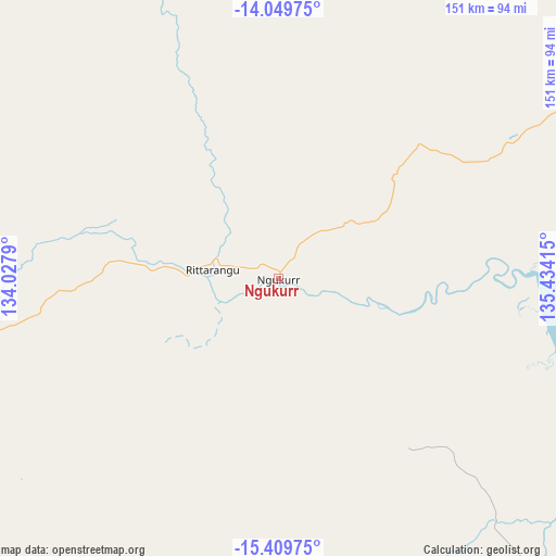
| Upper-left | -14.04975°, | 134.0279° |
| Center: | -14.73081°, | 134.73102° |
| Lower-right: | -15.40975°, | 135.43415° |
| Map W x H: | 151.2×151.2 km | = 94×94mi |
| max Lat: | -10.58257° ⇑1.9% North |
| Ngukurr: | -14.73081° |
| min Lat: | ⇓98.1% South -43.31423° |
| min Long | Ngukurr | max Long |
| 113.53327° | 134.73102° | 153.61246° |
| W 13.7%⇐ | ⇒86.3% E |
Elevation
Elevation of Ngukurr is 31 m = 102 ft, and this is 91 m = 299 ft below average elevation for this country.
| Max E: |
1715 m = 5627 ft | 61.1% |
| Avg. | 122 m = 400 ft | |
| Ngukurr | 31 m = 102 ft | |
Min E: |
-2 m = -7 ft | 38.9% |
See also: Australia elevation on elevation.city.
Geographical zone
Ngukurr is located in South Torrid zone (between Equator and Tropic of Capricorn). Distance of this Southern Tropic circle is 968 km =601.5 mi to South.| Distance of | km | miles | from Ngukurr |
|---|---|---|---|
| Equator | 1637.9 | 1017.7 | to North |
| Tropic Capricorn | 968 | 601.5 | to South |
| Antarctic Circle | 5763.3 | 3581.1 | to South |
| South Pole | 8369.1 | 5200.3 | to South |


Nearby cities:
15 places around Ngukurr: (largest is in red/bold)
• Alyangula
206.6 km =128.4 mi,  61°
61°
• Beswick
174.9 km =108.7 mi,  276°
276°
• Borroloola
225.2 km =139.9 mi,  131°
131°
• Cossack
276.7 km =171.9 mi, 276°
• Gapuwiyak
273.8 km =170.1 mi,  25°
25°
• Katherine
267.1 km =166 mi, 276°
• Katherine East
264.8 km =164.5 mi, 276°
• Katherine South
267.6 km =166.3 mi, 276°
• Lansdowne
254.3 km =158 mi, 277°
• Mataranka
180.3 km =112 mi,  263°
263°
• Milingimbi
293 km =182.1 mi,  3°
3°
• Miniyeri
89 km =55.3 mi,  231°
231°
• Ramingining
267.6 km =166.3 mi, 4°
• Tindal
254 km =157.8 mi, 275°
• West Arnhem
286.8 km =178.2 mi,  345°
345°
Sources, notices
• [Note1] Compared only with cities in Australia existing in our database
• [Src1] Map data: © OpenStreetMap contributors (CC-BY-SA)
• [Src2] Other city data from geonames.org with taken over terms of usage.
• [Src3] Geographical zone / Annual Mean Temperature by Robert A. Rohde @ Wikipedia
