Culfa geodata
Culfa (Nakhichevan) is a seat of a second-order administrative division; located in Azerbaijan in Asia/Baku (GMT+4) time zone. With population of 10,820 people, there are 68 cities with bigger population in this country. Compared to other cities in Azerbaijan, 93.5% of cities are located further ↑North; 89.7% of cities are located further →East and 77.8% of cities have lower elevation than Culfa. Note1


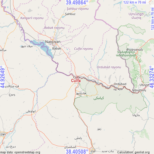
Culfa GPS coordinates[2]
38° 57' 14.292" North, 45° 37' 46.596" East
| Map corner | latitude | longitude |
|---|---|---|
| Upper-left | 39.49864°, | 44.92649° |
| Center: | 38.95397°, | 45.62961° |
| Lower-right: | 38.40508°, | 46.33274° |
| Map W x H: | 121.6×121.6 km | = 75.6×75.6mi |
| max Lat: | 41.75259° ⇑93.5% North |
| Culfa: | 38.95397° |
| min Lat: | ⇓6.5% South 38.45598° |
| min Long | Culfa | max Long |
| 44.84846° | 45.62961° | 50.84003° |
| W 10.3%⇐ | ⇒89.7% E |
Elevation
Elevation of Culfa is 714 m = 2343 ft, and this is 331 m = 1086 ft above average elevation for this country.
| Max E: |
2211 m = 7254 ft | 22.2% |
| Culfa | 714 m 2343 ft | |
| Avg. | 383 m = 1257 ft | |
Min E: |
-26 m = -85 ft | 77.8% |
See also: Azerbaijan elevation on elevation.city.
Geographical zone
Culfa is located in North temperate zone (between Tropic of Cancer and the Arctic Circle). Distance of this Northern Tropic circle is 1725.4 km =1072.1 mi to South.| Distance of | km | miles | from Culfa |
|---|---|---|---|
| North Pole | 5675.8 | 3526.8 | to North |
| Arctic Circle | 3069.9 | 1907.5 | to North |
| Tropic Cancer | 1725.4 | 1072.1 | to South |
| Equator | 4331.3 | 2691.3 | to South |


Nearby cities:
15 places around Culfa: (largest is in red/bold)
• Arafsa
40.2 km =25 mi,  19°
19°
• Ashagy Aylis
31.2 km =19.4 mi,  94°
94°
• Cahri
47.6 km =29.6 mi,  337°
337°
• Deste
25.5 km =15.8 mi,  107°
107°
• Nakhchivan
34 km =21.1 mi,  326°
326°
• Ordubad
34.4 km =21.4 mi,  98°
98°
• Oğlanqala
86.5 km =53.7 mi,  324°
324°
• Qıvraq
66.5 km =41.3 mi, 318°
• Sharur City
87 km =54.1 mi, 319°
• Sumbatan-diza
17 km =10.6 mi, 92°
• Tazakend
27.5 km =17.1 mi, 324°
• Yaycı
9 km =5.6 mi, 99°
• Zangilan
90.2 km =56 mi,  80°
80°
• Çalxanqala
61.9 km =38.5 mi, 331°
• Şahbuz
50.6 km =31.4 mi,  354°
354°
Sources, notices
• [Note1] Compared only with cities in Azerbaijan existing in our database
• [Src1] Map data: © OpenStreetMap contributors (CC-BY-SA)
• [Src2] Other city data from geonames.org with taken over terms of usage.
• [Src3] Geographical zone / Annual Mean Temperature by Robert A. Rohde @ Wikipedia
