İsmayıllı geodata
İsmayıllı is a seat of a first-order administrative division; located in Azerbaijan in Asia/Baku (GMT+4) time zone. With population of 13,610 people, there are 58 cities with bigger population in this country. Compared to other cities in Azerbaijan, 76.8% of cities are located further ↓South; 55.1% of cities are located further ←West and 69.7% of cities have lower elevation than İsmayıllı. Note1


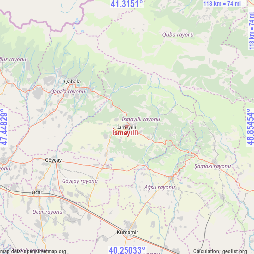
İsmayıllı GPS coordinates[2]
40° 47' 5.46" North, 48° 9' 5.076" East
| Map corner | latitude | longitude |
|---|---|---|
| Upper-left | 41.3151°, | 47.44829° |
| Center: | 40.78485°, | 48.15141° |
| Lower-right: | 40.25033°, | 48.85454° |
| Map W x H: | 118.4×118.4 km | = 73.6×73.6mi |
| max Lat: | 41.75259° ⇑23.2% North |
| İsmayıllı: | 40.78485° |
| min Lat: | ⇓76.8% South 38.45598° |
| min Long | İsmayıllı | max Long |
| 44.84846° | 48.15141° | 50.84003° |
| W 55.1%⇐ | ⇒44.9% E |
Elevation
Elevation of İsmayıllı is 579 m = 1900 ft, and this is 196 m = 643 ft above average elevation for this country.
| Max E: |
2211 m = 7254 ft | 30.3% |
| İsmayıllı | 579 m 1900 ft | |
| Avg. | 383 m = 1257 ft | |
Min E: |
-26 m = -85 ft | 69.7% |
See also: Azerbaijan elevation on elevation.city.
Geographical zone
İsmayıllı is located in North temperate zone (between Tropic of Cancer and the Arctic Circle). Distance of this Northern Tropic circle is 1928.9 km =1198.6 mi to South.| Distance of | km | miles | from İsmayıllı |
|---|---|---|---|
| North Pole | 5472.2 | 3400.3 | to North |
| Arctic Circle | 2866.3 | 1781 | to North |
| Tropic Cancer | 1928.9 | 1198.6 | to South |
| Equator | 4534.9 | 2817.9 | to South |


Nearby cities:
15 places around İsmayıllı: (largest is in red/bold)
• Aghsu
31.8 km =19.8 mi,  138°
138°
• Altıağac
66.5 km =41.3 mi,  82°
82°
• Ağdaş
59.1 km =36.7 mi,  254°
254°
• Basqal
20.4 km =12.7 mi,  99°
99°
• Begimli
65.4 km =40.6 mi,  205°
205°
• Geoktschai
37.6 km =23.4 mi, 246°
• Kyurdarmir
49.2 km =30.6 mi,  179°
179°
• Lahıc
20.6 km =12.8 mi,  70°
70°
• Oğuz
65.9 km =40.9 mi,  298°
298°
• Qobustan
71.2 km =44.2 mi,  113°
113°
• Quba
70.9 km =44.1 mi,  25°
25°
• Qutqashen
33.6 km =20.9 mi,  310°
310°
• Shamakhi
44.7 km =27.8 mi, 112°
• Ujar
51.3 km =31.9 mi,  234°
234°
• Zardob
73.1 km =45.4 mi, 210°
Sources, notices
• [Note1] Compared only with cities in Azerbaijan existing in our database
• [Src1] Map data: © OpenStreetMap contributors (CC-BY-SA)
• [Src2] Other city data from geonames.org with taken over terms of usage.
• [Src3] Geographical zone / Annual Mean Temperature by Robert A. Rohde @ Wikipedia
