Shibganj geodata
Shibganj (Rajshahi Division) is a populated place; located in Bangladesh in Asia/Dhaka (GMT+6) time zone. With population of 378,701 people, there are 5 cities with bigger population in this country. Compared to other cities in Bangladesh, 86.3% of cities are located further ↓South; 76.9% of cities are located further →East and 84.6% of cities have lower elevation than Shibganj. Note1
Administrative division(s):
- Level 1: Rajshahi Division
- Level 2: Bogra
- Level 3: Shibganj
- Level 4: Roynagar


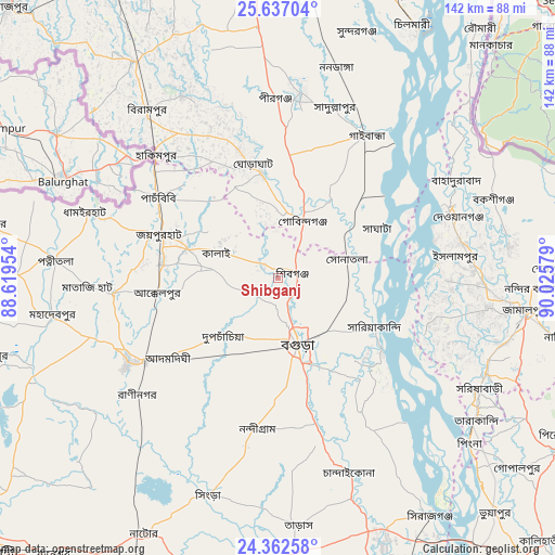
Shibganj GPS coordinates[2]
25° 0' 5.256" North, 89° 19' 21.576" East
| Map corner | latitude | longitude |
|---|---|---|
| Upper-left | 25.63704°, | 88.61954° |
| Center: | 25.00146°, | 89.32266° |
| Lower-right: | 24.36258°, | 90.02579° |
| Map W x H: | 141.7×141.7 km | = 88×88mi |
| max Lat: | 26.33338° ⇑13.7% North |
| Shibganj: | 25.00146° |
| min Lat: | ⇓86.3% South 20.85829° |
| min Long | Shibganj | max Long |
| 88.15638° | 89.32266° | 92.29773° |
| W 23.1%⇐ | ⇒76.9% E |
Elevation
Elevation of Shibganj is 26 m = 85 ft, and this is 8.1 m = 27 ft above average elevation for this country.
| Max E: |
79 m = 259 ft | 15.4% |
| Shibganj | 26 m 85 ft | |
| Avg. | 17.9 m = 59 ft | |
Min E: |
2 m = 7 ft | 84.6% |
See also: Shibganj elevation on elevation.city.
Geographical zone
Shibganj is located in North temperate zone (between Tropic of Cancer and the Arctic Circle). Distance of this Northern Tropic circle is 174 km =108.1 mi to South.| Distance of | km | miles | from Shibganj |
|---|---|---|---|
| North Pole | 7227.2 | 4490.8 | to North |
| Arctic Circle | 4621.3 | 2871.5 | to North |
| Tropic Cancer | 174 | 108.1 | to South |
| Equator | 2779.9 | 1727.3 | to South |


Nearby cities:
15 places around Shibganj: (largest is in red/bold)
• Badarganj
79.5 km =49.4 mi,  340°
340°
• Bogra
17.4 km =10.8 mi,  163°
163°
• Chilmāri
70.9 km =44.1 mi,  29°
29°
• Gaibandha
42.7 km =26.5 mi, 31°
• Jamālpur
63.7 km =39.6 mi,  98°
98°
• Joypur Hāt
31.8 km =19.8 mi,  290°
290°
• Mahasthangarh
4.9 km =3 mi, 155°
• Natore
73.9 km =45.9 mi,  207°
207°
• Paharpur
35.1 km =21.8 mi,  274°
274°
• Parbatipur
83.5 km =51.9 mi,  331°
331°
• Pār Naogaon
43.6 km =27.1 mi,  239°
239°
• Rangpur
83.2 km =51.7 mi,  355°
355°
• Sarishābāri
58.4 km =36.3 mi,  118°
118°
• Sherpur
70 km =43.5 mi,  88°
88°
• Sirajganj
71.9 km =44.7 mi,  147°
147°
Sources, notices
• [Note1] Compared only with cities in Bangladesh existing in our database
• [Src1] Map data: © OpenStreetMap contributors (CC-BY-SA)
• [Src2] Other city data from geonames.org with taken over terms of usage.
• [Src3] Geographical zone / Annual Mean Temperature by Robert A. Rohde @ Wikipedia
