Balen geodata
Balen (Flanders) is a populated place; located in Belgium in Europe/Brussels (GMT+2) time zone. With population of 19,978 people, there are 122 cities with bigger population in this country. Compared to other cities in Belgium, 87.5% of cities are located further ↓South; 72.4% of cities are located further ←West and 59.4% of cities have higher elevation than Balen. Note1
Administrative division(s):
- Level 1: Flanders
- Level 2: Provincie Antwerpen
- Level 3: Arrondissement Turnhout
- Level 4: Balen


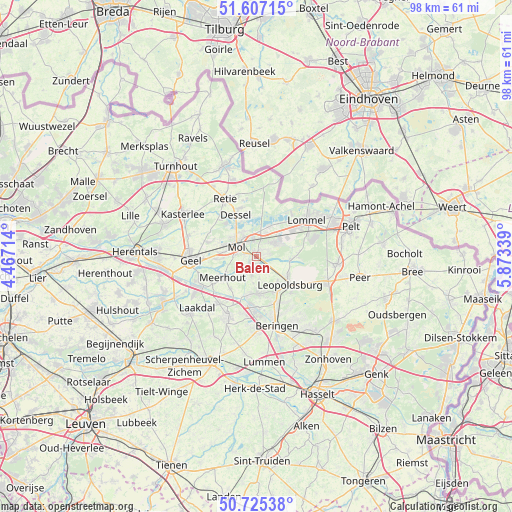
Balen GPS coordinates[2]
51° 10' 6.132" North, 5° 10' 12.972" East
| Map corner | latitude | longitude |
|---|---|---|
| Upper-left | 51.60715°, | 4.46714° |
| Center: | 51.16837°, | 5.17027° |
| Lower-right: | 50.72538°, | 5.87339° |
| Map W x H: | 98×98 km | = 60.9×60.9mi |
| max Lat: | 51.46791° ⇑12.5% North |
| Balen: | 51.16837° |
| min Lat: | ⇓87.5% South 49.53771° |
| min Long | Balen | max Long |
| 2.59368° | 5.17027° | 6.25749° |
| W 72.4%⇐ | ⇒27.6% E |
Elevation
Elevation of Balen is 34 m = 112 ft, and this is 65.5 m = 215 ft below average elevation for this country.
| Max E: |
582 m = 1909 ft | 59.4% |
| Avg. | 99.5 m = 326 ft | |
| Balen | 34 m = 112 ft | |
Min E: |
1 m = 3 ft | 40.6% |
See also: Belgium elevation on elevation.city.
Geographical zone
Balen is located in North temperate zone (between Tropic of Cancer and the Arctic Circle). Distance of this North polar circle is 1711.8 km =1063.7 mi to North.| Distance of | km | miles | from Balen |
|---|---|---|---|
| North Pole | 4317.7 | 2682.9 | to North |
| Arctic Circle | 1711.8 | 1063.7 | to North |
| Tropic Cancer | 3083.5 | 1916 | to South |
| Equator | 5689.4 | 3535.2 | to South |


Nearby cities:
15 places around Balen: (largest is in red/bold)
• Arendonk
18.2 km =11.3 mi,  340°
340°
• Beringen
13.8 km =8.6 mi,  163°
163°
• Dessel
8.7 km =5.4 mi,  333°
333°
• Geel
12.6 km =7.8 mi,  268°
268°
• Helchteren
19.4 km =12.1 mi,  130°
130°
• Heusden
16.5 km =10.3 mi,  152°
152°
• Kasterlee
16.3 km =10.1 mi,  299°
299°
• Laakdal
15.1 km =9.4 mi,  229°
229°
• Leopoldsburg
8 km =5 mi,  135°
135°
• Lommel
12.2 km =7.6 mi,  55°
55°
• Meerhout
7.6 km =4.7 mi,  237°
237°
• Mol
4.6 km =2.9 mi, 304°
• Overpelt
17.7 km =11 mi,  74°
74°
• Retie
12.5 km =7.8 mi, 330°
• Tessenderlo
12.8 km =8 mi,  206°
206°
Sources, notices
• [Note1] Compared only with cities in Belgium existing in our database
• [Src1] Map data: © OpenStreetMap contributors (CC-BY-SA)
• [Src2] Other city data from geonames.org with taken over terms of usage.
• [Src3] Geographical zone / Annual Mean Temperature by Robert A. Rohde @ Wikipedia
