Rumonge geodata
Rumonge is a seat of a first-order administrative division; located in Burundi in Africa/Bujumbura (GMT+2) time zone. With population of 6,074 people, there are 15 cities with bigger population in this country. Compared to other cities in Burundi, 95% of cities are located further ↑North; 75% of cities are located further →East and 100% of cities have higher elevation than Rumonge. Note1


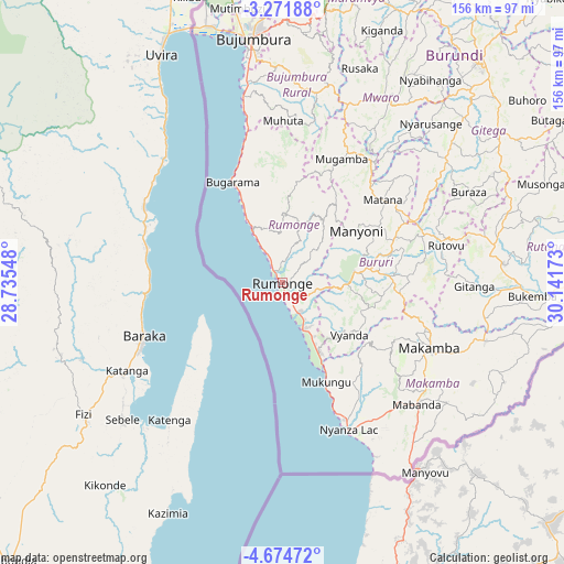
Rumonge GPS coordinates[2]
3° 58' 24.96" South, 29° 26' 18.96" East
| Map corner | latitude | longitude |
|---|---|---|
| Upper-left | -3.27188°, | 28.73548° |
| Center: | -3.9736°, | 29.4386° |
| Lower-right: | -4.67472°, | 30.14173° |
| Map W x H: | 156×156 km | = 96.9×96.9mi |
| max Lat: | -2.5845° ⇑95% North |
| Rumonge: | -3.9736° |
| min Lat: | ⇓5% South -4.1348° |
| min Long | Rumonge | max Long |
| 29.1248° | 29.4386° | 30.5528° |
| W 25%⇐ | ⇒75% E |
Elevation
Elevation of Rumonge is 790 m = 2592 ft, and this is 721.4 m = 2367 ft below average elevation for this country.
| Max E: |
2054 m = 6739 ft | 100% |
| Avg. | 1511.4 m = 4959 ft | |
| Rumonge | 790 m = 2592 ft | |
Min E: |
790 m = 2592 ft | 0% |
See also: Burundi elevation on elevation.city.
Geographical zone
Rumonge is located in South Torrid zone (between Equator and Tropic of Capricorn). Distance of Equator is 441.8 km =274.5 mi to North.| Distance of | km | miles | from Rumonge |
|---|---|---|---|
| Equator | 441.8 | 274.5 | to North |
| Tropic Capricorn | 2164.1 | 1344.7 | to South |
| Antarctic Circle | 6959.4 | 4324.4 | to South |
| South Pole | 9565.2 | 5943.5 | to South |


Nearby cities:
15 places around Rumonge: (largest is in red/bold)
• Bubanza
99.5 km =61.8 mi,  356°
356°
• Buganda
115.2 km =71.6 mi,  346°
346°
• Bujumbura
66.3 km =41.2 mi, 352°
• Bururi
20.8 km =12.9 mi,  82°
82°
• Cibitoke
125.7 km =78.1 mi,  343°
343°
• Gitega
81.2 km =50.5 mi,  41°
41°
• Isale
69.6 km =43.2 mi,  4°
4°
• Kayanza
118.8 km =73.8 mi,  10°
10°
• Makamba
44.3 km =27.5 mi,  113°
113°
• Manga
51.8 km =32.2 mi, 3°
• Muramvya
80.7 km =50.1 mi, 13°
• Muzinda
79.2 km =49.2 mi, 358°
• Mwaro
59.2 km =36.8 mi,  29°
29°
• Rutana
61.6 km =38.3 mi,  85°
85°
• Ruyigi
105.5 km =65.6 mi,  58°
58°
Sources, notices
• [Note1] Compared only with cities in Burundi existing in our database
• [Src1] Map data: © OpenStreetMap contributors (CC-BY-SA)
• [Src2] Other city data from geonames.org with taken over terms of usage.
• [Src3] Geographical zone / Annual Mean Temperature by Robert A. Rohde @ Wikipedia
