Muramvya geodata
Muramvya is a seat of a first-order administrative division; located in Burundi in Africa/Bujumbura (GMT+2) time zone. With population of 18,041 people, there are 9 cities with bigger population in this country. Compared to other cities in Burundi, 50% of cities are located further ↓South; 60% of cities are located further →East and 85% of cities have lower elevation than Muramvya. Note1


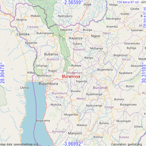
Muramvya GPS coordinates[2]
3° 16' 5.52" South, 29° 36' 28.44" East
| Map corner | latitude | longitude |
|---|---|---|
| Upper-left | -2.56599°, | 28.90478° |
| Center: | -3.2682°, | 29.6079° |
| Lower-right: | -3.96992°, | 30.31103° |
| Map W x H: | 156.1×156.1 km | = 97×97mi |
| max Lat: | -2.5845° ⇑50% North |
| Muramvya: | -3.2682° |
| min Lat: | ⇓50% South -4.1348° |
| min Long | Muramvya | max Long |
| 29.1248° | 29.6079° | 30.5528° |
| W 40%⇐ | ⇒60% E |
Elevation
Elevation of Muramvya is 1878 m = 6161 ft, and this is 366.6 m = 1203 ft above average elevation for this country.
| Max E: |
2054 m = 6739 ft | 15% |
| Muramvya | 1878 m 6161 ft | |
| Avg. | 1511.4 m = 4959 ft | |
Min E: |
790 m = 2592 ft | 85% |
See also: Burundi elevation on elevation.city.
Geographical zone
Muramvya is located in South Torrid zone (between Equator and Tropic of Capricorn). Distance of Equator is 363.4 km =225.8 mi to North.| Distance of | km | miles | from Muramvya |
|---|---|---|---|
| Equator | 363.4 | 225.8 | to North |
| Tropic Capricorn | 2242.5 | 1393.4 | to South |
| Antarctic Circle | 7037.8 | 4373.1 | to South |
| South Pole | 9643.7 | 5992.3 | to South |


Nearby cities:
15 places around Muramvya: (largest is in red/bold)
• Bubanza
31.9 km =19.8 mi,  310°
310°
• Buganda
56.9 km =35.4 mi, 306°
• Bujumbura
30.1 km =18.7 mi,  245°
245°
• Bururi
75.7 km =47 mi,  178°
178°
• Cibitoke
68.4 km =42.5 mi, 308°
• Gitega
39.3 km =24.4 mi,  116°
116°
• Isale
16.4 km =10.2 mi,  236°
236°
• Karuzi
64.3 km =40 mi,  73°
73°
• Kayanza
38.6 km =24 mi,  3°
3°
• Manga
30.9 km =19.2 mi,  209°
209°
• Muzinda
20.8 km =12.9 mi,  271°
271°
• Mwaro
29 km =18 mi,  158°
158°
• Ngozi
47.1 km =29.3 mi,  31°
31°
• Rumonge
80.7 km =50.1 mi,  193°
193°
• Ruyigi
74.8 km =46.5 mi,  108°
108°
Sources, notices
• [Note1] Compared only with cities in Burundi existing in our database
• [Src1] Map data: © OpenStreetMap contributors (CC-BY-SA)
• [Src2] Other city data from geonames.org with taken over terms of usage.
• [Src3] Geographical zone / Annual Mean Temperature by Robert A. Rohde @ Wikipedia
