Guanay geodata
Guanay (La Paz) is a seat of a third-order administrative division; located in Bolivia in America/La_Paz (GMT-4) time zone. In our database, there are 117 cities with bigger population. Compared to other cities in Bolivia, 90.7% of cities are located further ↓South; 89.4% of cities are located further →East and 71.4% of cities have higher elevation than Guanay. Note1


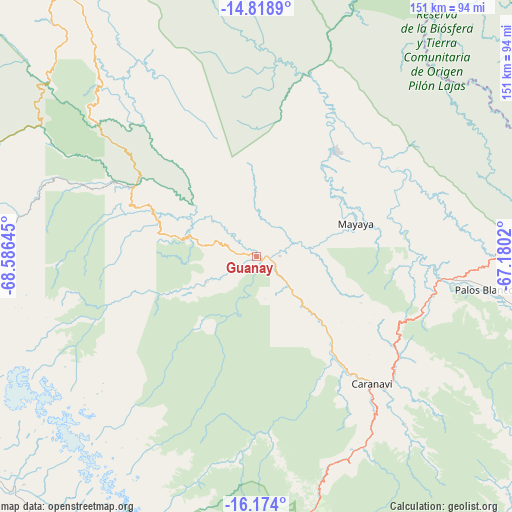
Guanay GPS coordinates[2]
15° 29' 51.216" South, 67° 52' 59.952" West
| Map corner | latitude | longitude |
|---|---|---|
| Upper-left | -14.8189°, | -68.58645° |
| Center: | -15.49756°, | -67.88332° |
| Lower-right: | -16.174°, | -67.1802° |
| Map W x H: | 150.7×150.7 km | = 93.6×93.6mi |
| max Lat: | -9.71828° ⇑9.3% North |
| Guanay: | -15.49756° |
| min Lat: | ⇓90.7% South -22.73206° |
| min Long | Guanay | max Long |
| -69.14843° | -67.88332° | -57.76667° |
| W 10.6%⇐ | ⇒89.4% E |
Elevation
Elevation of Guanay is 477 m = 1565 ft, and this is 1534.3 m = 5034 ft below average elevation for this country.
| Max E: |
4732 m = 15525 ft | 71.4% |
| Avg. | 2011.3 m = 6599 ft | |
| Guanay | 477 m = 1565 ft | |
Min E: |
92 m = 302 ft | 28.6% |
See also: Bolivia elevation on elevation.city.
Geographical zone
Guanay is located in South Torrid zone (between Equator and Tropic of Capricorn). Distance of this Southern Tropic circle is 882.8 km =548.5 mi to South.| Distance of | km | miles | from Guanay |
|---|---|---|---|
| Equator | 1723.2 | 1070.7 | to North |
| Tropic Capricorn | 882.8 | 548.5 | to South |
| Antarctic Circle | 5678 | 3528.1 | to South |
| South Pole | 8283.9 | 5147.4 | to South |


Nearby cities:
15 places around Guanay: (largest is in red/bold)
• Achacachi
105.4 km =65.5 mi,  234°
234°
• Amarete
121.6 km =75.6 mi,  283°
283°
• Batallas
113.1 km =70.3 mi,  217°
217°
• Chulumani
108.1 km =67.2 mi,  159°
159°
• Coripata
94.2 km =58.5 mi, 161°
• Coroico
79.1 km =49.2 mi,  168°
168°
• Huarina
112 km =69.6 mi, 225°
• Huatajata
115.9 km =72 mi, 227°
• La Paz
115 km =71.5 mi,  194°
194°
• Mapiri
41 km =25.5 mi,  312°
312°
• Rurrenabaque
123.5 km =76.7 mi,  18°
18°
• San Borja
134.3 km =83.5 mi,  55°
55°
• San Pablo
129.3 km =80.3 mi, 231°
• San Pedro
132.2 km =82.1 mi, 231°
• Sorata
87.6 km =54.4 mi,  249°
249°
Sources, notices
• [Note1] Compared only with cities in Bolivia existing in our database
• [Src1] Map data: © OpenStreetMap contributors (CC-BY-SA)
• [Src2] Other city data from geonames.org with taken over terms of usage.
• [Src3] Geographical zone / Annual Mean Temperature by Robert A. Rohde @ Wikipedia
