Amarete geodata
Amarete (La Paz) is a populated place; located in Bolivia in America/La_Paz (GMT-4) time zone. With population of 2,203 people, there are 101 cities with bigger population in this country. Compared to other cities in Bolivia, 92.5% of cities are located further ↓South; 99.4% of cities are located further →East and 90.1% of cities have lower elevation than Amarete. Note1


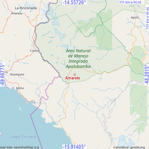
Amarete GPS coordinates[2]
15° 14' 12.3" South, 68° 59' 4.632" West
| Map corner | latitude | longitude |
|---|---|---|
| Upper-left | -14.55726°, | -69.68775° |
| Center: | -15.23675°, | -68.98462° |
| Lower-right: | -15.91405°, | -68.2815° |
| Map W x H: | 150.9×150.9 km | = 93.8×93.8mi |
| max Lat: | -9.71828° ⇑7.5% North |
| Amarete: | -15.23675° |
| min Lat: | ⇓92.5% South -22.73206° |
| min Long | Amarete | max Long |
| -69.14843° | -68.98462° | -57.76667° |
| W 0.6%⇐ | ⇒99.4% E |
Elevation
Elevation of Amarete is 3842 m = 12605 ft, and this is 1830.7 m = 6006 ft above average elevation for this country.
| Max E: |
4732 m = 15525 ft | 9.9% |
| Amarete | 3842 m 12605 ft | |
| Avg. | 2011.3 m = 6599 ft | |
Min E: |
92 m = 302 ft | 90.1% |
See also: Bolivia elevation on elevation.city.
Geographical zone
Amarete is located in South Torrid zone (between Equator and Tropic of Capricorn). Distance of this Southern Tropic circle is 911.8 km =566.6 mi to South.| Distance of | km | miles | from Amarete |
|---|---|---|---|
| Equator | 1694.2 | 1052.7 | to North |
| Tropic Capricorn | 911.8 | 566.6 | to South |
| Antarctic Circle | 5707 | 3546.2 | to South |
| South Pole | 8312.9 | 5165.4 | to South |


Nearby cities:
15 places around Amarete: (largest is in red/bold)
• Achacachi
96 km =59.7 mi,  160°
160°
• Batallas
127.7 km =79.3 mi, 157°
• Coripata
189.5 km =117.7 mi,  128°
128°
• Coroico
171.3 km =106.4 mi, 128°
• Guanay
121.6 km =75.6 mi,  103°
103°
• Huarina
113.5 km =70.5 mi, 160°
• Huatajata
111.9 km =69.5 mi, 163°
• La Paz
166.4 km =103.4 mi,  147°
147°
• Mapiri
87.8 km =54.6 mi,  90°
90°
• Rurrenabaque
179.8 km =111.7 mi,  60°
60°
• San Pablo
110.2 km =68.5 mi,  171°
171°
• San Pedro
112.2 km =69.7 mi, 172°
• Sorata
69.6 km =43.2 mi, 148°
• Tiahuanaco
149.9 km =93.1 mi, 167°
• Yumani
90.6 km =56.3 mi,  191°
191°
Sources, notices
• [Note1] Compared only with cities in Bolivia existing in our database
• [Src1] Map data: © OpenStreetMap contributors (CC-BY-SA)
• [Src2] Other city data from geonames.org with taken over terms of usage.
• [Src3] Geographical zone / Annual Mean Temperature by Robert A. Rohde @ Wikipedia
