Rurrenabaque geodata
Rurrenabaque (El Beni) is a populated place; located in Bolivia in America/La_Paz (GMT-4) time zone. With population of 11,749 people, there are 38 cities with bigger population in this country. Compared to other cities in Bolivia, 95% of cities are located further ↓South; 85.1% of cities are located further →East and 91.3% of cities have higher elevation than Rurrenabaque. Note1


Rurrenabaque GPS coordinates[2]
14° 26' 28.5" South, 67° 31' 40.116" West
| Map corner | latitude | longitude |
|---|---|---|
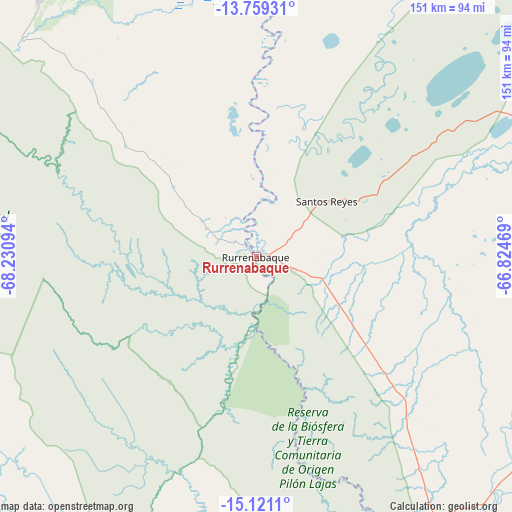
| Upper-left | -13.75931°, | -68.23094° |
| Center: | -14.44125°, | -67.52781° |
| Lower-right: | -15.1211°, | -66.82469° |
| Map W x H: | 151.4×151.4 km | = 94.1×94.1mi |
| max Lat: | -9.71828° ⇑5% North |
| Rurrenabaque: | -14.44125° |
| min Lat: | ⇓95% South -22.73206° |
| min Long | Rurrenabaque | max Long |
| -69.14843° | -67.52781° | -57.76667° |
| W 14.9%⇐ | ⇒85.1% E |
Elevation
Elevation of Rurrenabaque is 210 m = 689 ft, and this is 1801.3 m = 5910 ft below average elevation for this country.
| Max E: |
4732 m = 15525 ft | 91.3% |
| Avg. | 2011.3 m = 6599 ft | |
| Rurrenabaque | 210 m = 689 ft | |
Min E: |
92 m = 302 ft | 8.7% |
See also: Bolivia elevation on elevation.city.
Geographical zone
Rurrenabaque is located in South Torrid zone (between Equator and Tropic of Capricorn). Distance of this Southern Tropic circle is 1000.2 km =621.5 mi to South.| Distance of | km | miles | from Rurrenabaque |
|---|---|---|---|
| Equator | 1605.7 | 997.7 | to North |
| Tropic Capricorn | 1000.2 | 621.5 | to South |
| Antarctic Circle | 5795.5 | 3601.2 | to South |
| South Pole | 8401.3 | 5220.3 | to South |


Nearby cities:
15 places around Rurrenabaque: (largest is in red/bold)
• Achacachi
217.6 km =135.2 mi,  214°
214°
• Amarete
179.8 km =111.7 mi,  240°
240°
• Batallas
233.1 km =144.8 mi, 207°
• Chulumani
218.7 km =135.9 mi,  180°
180°
• Coripata
206.8 km =128.5 mi, 182°
• Coroico
196.1 km =121.9 mi,  186°
186°
• Guanay
123.5 km =76.7 mi,  198°
198°
• Huarina
228.7 km =142.1 mi, 211°
• Huatajata
231.5 km =143.8 mi, 212°
• Mapiri
113.1 km =70.3 mi,  217°
217°
• Reyes
26.3 km =16.3 mi,  51°
51°
• San Borja
84 km =52.2 mi,  119°
119°
• San Borja
95.4 km =59.3 mi, 118°
• Santa Rosa
75.9 km =47.2 mi,  66°
66°
• Sorata
190.9 km =118.6 mi, 219°
Sources, notices
• [Note1] Compared only with cities in Bolivia existing in our database
• [Src1] Map data: © OpenStreetMap contributors (CC-BY-SA)
• [Src2] Other city data from geonames.org with taken over terms of usage.
• [Src3] Geographical zone / Annual Mean Temperature by Robert A. Rohde @ Wikipedia
