Coripata geodata
Coripata (La Paz) is a populated place; located in Bolivia in America/La_Paz (GMT-4) time zone. With population of 2,107 people, there are 104 cities with bigger population in this country. Compared to other cities in Bolivia, 83.2% of cities are located further ↓South; 87.6% of cities are located further →East and 58.4% of cities have higher elevation than Coripata. Note1


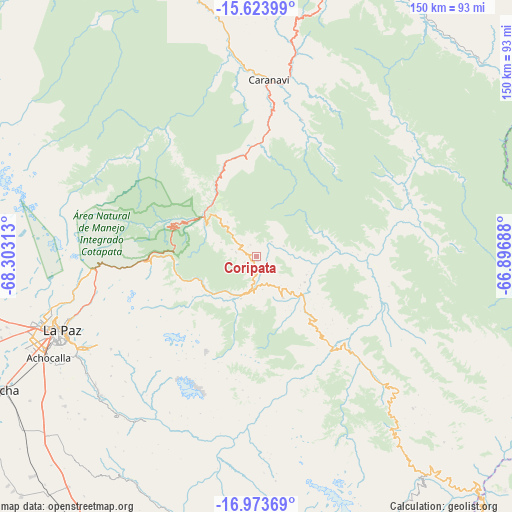
Coripata GPS coordinates[2]
16° 18' 0" South, 67° 36' 0" West
| Map corner | latitude | longitude |
|---|---|---|
| Upper-left | -15.62399°, | -68.30313° |
| Center: | -16.3°, | -67.6° |
| Lower-right: | -16.97369°, | -66.89688° |
| Map W x H: | 150.1×150.1 km | = 93.3×93.3mi |
| max Lat: | -9.71828° ⇑16.8% North |
| Coripata: | -16.3° |
| min Lat: | ⇓83.2% South -22.73206° |
| min Long | Coripata | max Long |
| -69.14843° | -67.6° | -57.76667° |
| W 12.4%⇐ | ⇒87.6% E |
Elevation
Elevation of Coripata is 1688 m = 5538 ft, and this is 323.3 m = 1061 ft below average elevation for this country.
| Max E: |
4732 m = 15525 ft | 58.4% |
| Avg. | 2011.3 m = 6599 ft | |
| Coripata | 1688 m = 5538 ft | |
Min E: |
92 m = 302 ft | 41.6% |
See also: Bolivia elevation on elevation.city.
Geographical zone
Coripata is located in South Torrid zone (between Equator and Tropic of Capricorn). Distance of this Southern Tropic circle is 793.5 km =493.1 mi to South.| Distance of | km | miles | from Coripata |
|---|---|---|---|
| Equator | 1812.4 | 1126.2 | to North |
| Tropic Capricorn | 793.5 | 493.1 | to South |
| Antarctic Circle | 5588.8 | 3472.7 | to South |
| South Pole | 8194.7 | 5091.9 | to South |


Nearby cities:
15 places around Coripata: (largest is in red/bold)
• Achacachi
119 km =73.9 mi,  283°
283°
• Batallas
99.6 km =61.9 mi,  270°
270°
• Belen
118.7 km =73.8 mi,  177°
177°
• Chulumani
14.2 km =8.8 mi,  148°
148°
• Coroico
18.2 km =11.3 mi,  310°
310°
• Guanay
94.2 km =58.5 mi,  341°
341°
• Huarina
110.9 km =68.9 mi, 275°
• Huatajata
116.2 km =72.2 mi, 275°
• Independencia
120.6 km =74.9 mi,  136°
136°
• La Paz
62.7 km =39 mi,  249°
249°
• Lahuachaca
119.3 km =74.1 mi, 183°
• Patacamaya
109.5 km =68 mi,  198°
198°
• Quime
86.3 km =53.6 mi, 151°
• Tiahuanaco
118.5 km =73.6 mi,  256°
256°
• Viloco
72.5 km =45 mi, 175°
Sources, notices
• [Note1] Compared only with cities in Bolivia existing in our database
• [Src1] Map data: © OpenStreetMap contributors (CC-BY-SA)
• [Src2] Other city data from geonames.org with taken over terms of usage.
• [Src3] Geographical zone / Annual Mean Temperature by Robert A. Rohde @ Wikipedia
