Itatinga geodata
Itatinga (São Paulo) is a populated place; located in Brazil in America/Sao_Paulo (GMT-3) time zone. With population of 15,696 people, there are 1176 cities with bigger population in this country. Compared to other cities in Brazil, 79.7% of cities are located further ↑North; 68.7% of cities are located further →East and 91.7% of cities have lower elevation than Itatinga. Note1


Itatinga GPS coordinates[2]
23° 6' 6.012" South, 48° 36' 56.988" West
| Map corner | latitude | longitude |
|---|---|---|
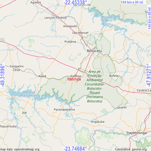
| Upper-left | -22.45338°, | -49.31896° |
| Center: | -23.10167°, | -48.61583° |
| Lower-right: | -23.74684°, | -47.91271° |
| Map W x H: | 143.8×143.8 km | = 89.4×89.4mi |
| max Lat: | 2.81972° ⇑79.7% North |
| Itatinga: | -23.10167° |
| min Lat: | ⇓20.3% South -33.69111° |
| min Long | Itatinga | max Long |
| -72.89583° | -48.61583° | -32.41083° |
| W 31.3%⇐ | ⇒68.7% E |
Elevation
Elevation of Itatinga is 840 m = 2756 ft, and this is 459.1 m = 1506 ft above average elevation for this country.
| Max E: |
1603 m = 5259 ft | 8.3% |
| Itatinga | 840 m 2756 ft | |
| Avg. | 380.9 m = 1250 ft | |
Min E: |
0 m = 0 ft | 91.7% |
See also: Brazil elevation on elevation.city.
Geographical zone
Itatinga is located in South Torrid zone (between Equator and Tropic of Capricorn). Distance of this Southern Tropic circle is 37.3 km =23.2 mi to South.| Distance of | km | miles | from Itatinga |
|---|---|---|---|
| Equator | 2568.7 | 1596.1 | to North |
| Tropic Capricorn | 37.3 | 23.2 | to South |
| Antarctic Circle | 4832.5 | 3002.8 | to South |
| South Pole | 7438.4 | 4622 | to South |


Nearby cities:
15 places around Itatinga: (largest is in red/bold)
• Angatuba
47.9 km =29.8 mi,  154°
154°
• Avaré
31.7 km =19.7 mi,  270°
270°
• Barra Bonita
67.7 km =42.1 mi,  5°
5°
• Botucatu
29.7 km =18.5 mi,  36°
36°
• Buri
77.4 km =48.1 mi,  178°
178°
• Cerqueira César
56.8 km =35.3 mi,  277°
277°
• Conchas
62.7 km =39 mi,  81°
81°
• Igaraçu do Tietê
66.1 km =41.1 mi, 5°
• Itapetininga
79.2 km =49.2 mi,  133°
133°
• Itaí
59.9 km =37.2 mi,  234°
234°
• Lençóis Paulista
59 km =36.7 mi,  341°
341°
• Macatuba
67.4 km =41.9 mi,  351°
351°
• Paranapanema
33.5 km =20.8 mi,  199°
199°
• Porangaba
50.9 km =31.6 mi,  99°
99°
• São Manuel
41.5 km =25.8 mi, 6°
Sources, notices
• [Note1] Compared only with cities in Brazil existing in our database
• [Src1] Map data: © OpenStreetMap contributors (CC-BY-SA)
• [Src2] Other city data from geonames.org with taken over terms of usage.
• [Src3] Geographical zone / Annual Mean Temperature by Robert A. Rohde @ Wikipedia
