Araguaiana geodata
Araguaiana (Mato Grosso) is a populated place; located in Brazil in America/Sao_Paulo (GMT-3) time zone. With population of 3,512 people, there are 1979 cities with bigger population in this country. Compared to other cities in Brazil, 54.3% of cities are located further ↓South; 87% of cities are located further →East and 53.9% of cities have higher elevation than Araguaiana. Note1


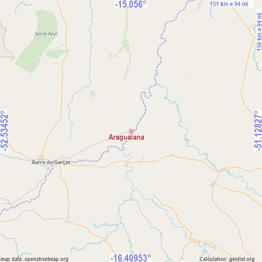
Araguaiana GPS coordinates[2]
15° 44' 2.004" South, 51° 49' 53.004" West
| Map corner | latitude | longitude |
|---|---|---|
| Upper-left | -15.056°, | -52.53452° |
| Center: | -15.73389°, | -51.83139° |
| Lower-right: | -16.40953°, | -51.12827° |
| Map W x H: | 150.5×150.5 km | = 93.5×93.5mi |
| max Lat: | 2.81972° ⇑45.7% North |
| Araguaiana: | -15.73389° |
| min Lat: | ⇓54.3% South -33.69111° |
| min Long | Araguaiana | max Long |
| -72.89583° | -51.83139° | -32.41083° |
| W 13%⇐ | ⇒87% E |
Elevation
Elevation of Araguaiana is 287 m = 942 ft, and this is 93.9 m = 308 ft below average elevation for this country.
| Max E: |
1603 m = 5259 ft | 53.9% |
| Avg. | 380.9 m = 1250 ft | |
| Araguaiana | 287 m = 942 ft | |
Min E: |
0 m = 0 ft | 46.1% |
See also: Brazil elevation on elevation.city.
Geographical zone
Araguaiana is located in South Torrid zone (between Equator and Tropic of Capricorn). Distance of this Southern Tropic circle is 856.5 km =532.2 mi to South.| Distance of | km | miles | from Araguaiana |
|---|---|---|---|
| Equator | 1749.4 | 1087 | to North |
| Tropic Capricorn | 856.5 | 532.2 | to South |
| Antarctic Circle | 5651.7 | 3511.8 | to South |
| South Pole | 8257.6 | 5131 | to South |


Nearby cities:
15 places around Araguaiana: (largest is in red/bold)
• Anicuns
215.5 km =133.9 mi,  112°
112°
• Aragarças
48.4 km =30.1 mi,  247°
247°
• Barra do Garças
48.7 km =30.3 mi, 249°
• Caiapônia
136 km =84.5 mi,  179°
179°
• Firminópolis
188.3 km =117 mi,  120°
120°
• Goiás
182.3 km =113.3 mi,  97°
97°
• Iporá
109.6 km =68.1 mi,  135°
135°
• Itapirapuã
130.7 km =81.2 mi,  94°
94°
• Itapuranga
202.5 km =125.8 mi,  84°
84°
• Mozarlândia
174.3 km =108.3 mi,  50°
50°
• Nova Xavantina
131.5 km =81.7 mi,  334°
334°
• Paraúna
200 km =124.3 mi,  132°
132°
• Piranhas
77.1 km =47.9 mi, 179°
• Portelândia
201.5 km =125.2 mi,  206°
206°
• São Luís de Montes Belos
179 km =111.2 mi, 119°
Sources, notices
• [Note1] Compared only with cities in Brazil existing in our database
• [Src1] Map data: © OpenStreetMap contributors (CC-BY-SA)
• [Src2] Other city data from geonames.org with taken over terms of usage.
• [Src3] Geographical zone / Annual Mean Temperature by Robert A. Rohde @ Wikipedia
