Gobojango geodata
Gobojango (Central) is a populated place; located in Botswana in Africa/Gaborone (GMT+2) time zone. With population of 1,756 people, there are 63 cities with bigger population in this country. Compared to other cities in Botswana, 73.3% of cities are located further ↓South; 99% of cities are located further ←West and 98.1% of cities have higher elevation than Gobojango. Note1


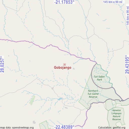
Gobojango GPS coordinates[2]
21° 49' 57.72" South, 28° 43' 43.752" East
| Map corner | latitude | longitude |
|---|---|---|
| Upper-left | -21.17853°, | 28.0257° |
| Center: | -21.8327°, | 28.72882° |
| Lower-right: | -22.48389°, | 29.43195° |
| Map W x H: | 145.1×145.1 km | = 90.2×90.2mi |
| max Lat: | -17.80165° ⇑26.7% North |
| Gobojango: | -21.8327° |
| min Lat: | ⇓73.3% South -26.9° |
| min Long | Gobojango | max Long |
| 20.06667° | 28.72882° | 28.74946° |
| W 99%⇐ | ⇒1% E |
Elevation
Elevation of Gobojango is 737 m = 2418 ft, and this is 278 m = 912 ft below average elevation for this country.
| Max E: |
1406 m = 4613 ft | 98.1% |
| Avg. | 1015 m = 3330 ft | |
| Gobojango | 737 m = 2418 ft | |
Min E: |
676 m = 2218 ft | 1.9% |
See also: Botswana elevation on elevation.city.
Geographical zone
Gobojango is located in South Torrid zone (between Equator and Tropic of Capricorn). Distance of this Southern Tropic circle is 178.4 km =110.9 mi to South.| Distance of | km | miles | from Gobojango |
|---|---|---|---|
| Equator | 2427.6 | 1508.4 | to North |
| Tropic Capricorn | 178.4 | 110.9 | to South |
| Antarctic Circle | 4973.6 | 3090.5 | to South |
| South Pole | 7579.5 | 4709.7 | to South |


Nearby cities:
15 places around Gobojango: (largest is in red/bold)
• Francistown
146.2 km =90.8 mi,  300°
300°
• Makobeng
169.2 km =105.1 mi,  220°
220°
• Malaka
168.3 km =104.6 mi,  238°
238°
• Mathambgwane
172.3 km =107.1 mi, 302°
• Mathathane
48.5 km =30.1 mi,  177°
177°
• Maunatlala
141.5 km =87.9 mi,  233°
233°
• Mogapi
107 km =66.5 mi, 239°
• Mogapinyana
130.6 km =81.2 mi, 242°
• Moremi
155.2 km =96.4 mi, 237°
• Ratholo
154.9 km =96.3 mi, 230°
• Sefophe
87.7 km =54.5 mi, 243°
• Selebi-Phikwe
92.8 km =57.7 mi,  259°
259°
• Tamasane
151.5 km =94.1 mi, 244°
• Tobane
86.5 km =53.7 mi, 261°
• Tonota
138 km =85.7 mi,  288°
288°
Sources, notices
• [Note1] Compared only with cities in Botswana existing in our database
• [Src1] Map data: © OpenStreetMap contributors (CC-BY-SA)
• [Src2] Other city data from geonames.org with taken over terms of usage.
• [Src3] Geographical zone / Annual Mean Temperature by Robert A. Rohde @ Wikipedia
