Bolobo geodata
Bolobo (Mai-Ndombe) is a populated place; located in Democratic Republic of the Congo in Africa/Kinshasa (GMT+1) time zone. With population of 27,862 people, there are 60 cities with bigger population in this country. Compared to other cities in Democratic Republic of the Congo, 62.9% of cities are located further ↓South; 88.6% of cities are located further →East and 87.1% of cities have higher elevation than Bolobo. Note1


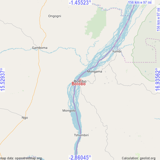
Bolobo GPS coordinates[2]
2° 9' 28.8" South, 16° 13' 56.964" East
| Map corner | latitude | longitude |
|---|---|---|
| Upper-left | -1.45523°, | 15.52937° |
| Center: | -2.158°, | 16.23249° |
| Lower-right: | -2.86045°, | 16.93562° |
| Map W x H: | 156.2×156.2 km | = 97.1×97.1mi |
| max Lat: | 4.279° ⇑37.1% North |
| Bolobo: | -2.158° |
| min Lat: | ⇓62.9% South -11.76097° |
| min Long | Bolobo | max Long |
| 12.37148° | 16.23249° | 30.25224° |
| W 11.4%⇐ | ⇒88.6% E |
Elevation
Elevation of Bolobo is 321 m = 1053 ft, and this is 335 m = 1099 ft below average elevation for this country.
| Max E: |
1996 m = 6549 ft | 87.1% |
| Avg. | 656 m = 2152 ft | |
| Bolobo | 321 m = 1053 ft | |
Min E: |
11 m = 36 ft | 12.9% |
See also: Democratic Republic of the Congo elevation on elevation.city.
Geographical zone
Bolobo is located in South Torrid zone (between Equator and Tropic of Capricorn). Distance of Equator is 239.9 km =149.1 mi to North.| Distance of | km | miles | from Bolobo |
|---|---|---|---|
| Equator | 239.9 | 149.1 | to North |
| Tropic Capricorn | 2366 | 1470.2 | to South |
| Antarctic Circle | 7161.2 | 4449.8 | to South |
| South Pole | 9767.1 | 6069 | to South |


Nearby cities:
13 places around Bolobo: (largest is in red/bold)
• Bandundu
181.3 km =112.7 mi,  135°
135°
• Bulungu
373.7 km =232.2 mi, 135°
• Inongo
229.9 km =142.9 mi,  83°
83°
• Kasangulu
294.5 km =183 mi,  203°
203°
• Kikwit
430.1 km =267.3 mi, 138°
• Kinshasa
261.9 km =162.7 mi, 202°
• Lukolela
161.3 km =100.2 mi,  40°
40°
• Mangai
421.1 km =261.7 mi,  119°
119°
• Masina
264.5 km =164.4 mi, 200°
• Mbandaka
333.2 km =207 mi, 42°
• Mbanza-Ngungu
376.9 km =234.2 mi, 203°
• Mushie
122.5 km =76.1 mi, 141°
• Nioki
173.6 km =107.9 mi,  111°
111°
Sources, notices
• [Note1] Compared only with cities in Democratic Republic of the Congo existing in our database
• [Src1] Map data: © OpenStreetMap contributors (CC-BY-SA)
• [Src2] Other city data from geonames.org with taken over terms of usage.
• [Src3] Geographical zone / Annual Mean Temperature by Robert A. Rohde @ Wikipedia
