Mobaye geodata
Mobaye (Basse-Kotto) is a seat of a first-order administrative division; located in Central African Republic in Africa/Bangui (GMT+1) time zone. With population of 19,431 people, there are 15 cities with bigger population in this country. Compared to other cities in Central African Republic, 77.1% of cities are located further ↑North; 68.6% of cities are located further ←West and 82.9% of cities have higher elevation than Mobaye. Note1


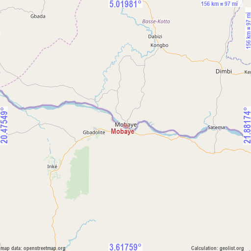
Mobaye GPS coordinates[2]
4° 19' 8.472" North, 21° 10' 42.996" East
| Map corner | latitude | longitude |
|---|---|---|
| Upper-left | 5.01981°, | 20.47549° |
| Center: | 4.31902°, | 21.17861° |
| Lower-right: | 3.61759°, | 21.88174° |
| Map W x H: | 155.9×155.9 km | = 96.9×96.9mi |
| max Lat: | 10.28488° ⇑77.1% North |
| Mobaye: | 4.31902° |
| min Lat: | ⇓22.9% South 3.52494° |
| min Long | Mobaye | max Long |
| 15.13926° | 21.17861° | 26.49211° |
| W 68.6%⇐ | ⇒31.4% E |
Elevation
Elevation of Mobaye is 388 m = 1273 ft, and this is 117.3 m = 385 ft below average elevation for this country.
| Max E: |
976 m = 3202 ft | 82.9% |
| Avg. | 505.3 m = 1658 ft | |
| Mobaye | 388 m = 1273 ft | |
Min E: |
351 m = 1152 ft | 17.1% |
See also: Central African Republic elevation on elevation.city.
Geographical zone
Mobaye is located in North Torrid zone (between Equator and Tropic of Cancer). Distance of Equator is 480.2 km =298.4 mi to South.| Distance of | km | miles | from Mobaye |
|---|---|---|---|
| North Pole | 9526.8 | 5919.7 | to North |
| Arctic Circle | 6920.9 | 4300.4 | to North |
| Tropic Cancer | 2125.7 | 1320.8 | to North |
| Equator | 480.2 | 298.4 | to South |


Nearby cities:
15 places around Mobaye: (largest is in red/bold)
• Alindao
78.8 km =49 mi,  2°
2°
• Bambari
170.5 km =105.9 mi,  340°
340°
• Bangassou
187.7 km =116.6 mi,  75°
75°
• Bangui
290.9 km =180.8 mi,  270°
270°
• Bimbo
306.4 km =190.4 mi, 268°
• Boali
342.4 km =212.8 mi,  278°
278°
• Bria
262.9 km =163.4 mi,  19°
19°
• Damara
283.4 km =176.1 mi, 284°
• Gambo
125.7 km =78.1 mi,  73°
73°
• Ippy
216.8 km =134.7 mi, 1°
• Kembé
85.4 km =53.1 mi, 66°
• Kouango
154.3 km =95.9 mi,  299°
299°
• Mongoumba
296.5 km =184.2 mi,  255°
255°
• Ouango
152.6 km =94.8 mi,  90°
90°
• Sibut
280.3 km =174.2 mi, 303°
Sources, notices
• [Note1] Compared only with cities in Central African Republic existing in our database
• [Src1] Map data: © OpenStreetMap contributors (CC-BY-SA)
• [Src2] Other city data from geonames.org with taken over terms of usage.
• [Src3] Geographical zone / Annual Mean Temperature by Robert A. Rohde @ Wikipedia
