Soubré geodata
Soubré (Bas-Sassandra) is a seat of a second-order administrative division; located in Ivory Coast in Africa/Abidjan (GMT+0) time zone. In our database, there are 63 cities with bigger population. Compared to other cities in Ivory Coast, 79.5% of cities are located further ↑North; 74.4% of cities are located further →East and 70.9% of cities have higher elevation than Soubré. Note1


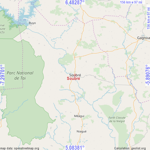
Soubré GPS coordinates[2]
5° 47' 1.572" North, 6° 35' 37.968" West
| Map corner | latitude | longitude |
|---|---|---|
| Upper-left | 6.48287°, | -7.29701° |
| Center: | 5.78377°, | -6.59388° |
| Lower-right: | 5.08381°, | -5.89076° |
| Map W x H: | 155.6×155.6 km | = 96.7×96.7mi |
| max Lat: | 10.48115° ⇑79.5% North |
| Soubré: | 5.78377° |
| min Lat: | ⇓20.5% South 4.42295° |
| min Long | Soubré | max Long |
| -8.42592° | -6.59388° | -2.80003° |
| W 25.6%⇐ | ⇒74.4% E |
Elevation
Elevation of Soubré is 140 m = 459 ft, and this is 84.3 m = 277 ft below average elevation for this country.
| Max E: |
556 m = 1824 ft | 70.9% |
| Avg. | 224.3 m = 736 ft | |
| Soubré | 140 m = 459 ft | |
Min E: |
7 m = 23 ft | 29.1% |
See also: Ivory Coast elevation on elevation.city.
Geographical zone
Soubré is located in North Torrid zone (between Equator and Tropic of Cancer). Distance of Equator is 643.1 km =399.6 mi to South.| Distance of | km | miles | from Soubré |
|---|---|---|---|
| North Pole | 9364 | 5818.5 | to North |
| Arctic Circle | 6758.1 | 4199.3 | to North |
| Tropic Cancer | 1962.8 | 1219.6 | to North |
| Equator | 643.1 | 399.6 | to South |


Nearby cities:
15 places around Soubré: (largest is in red/bold)
• Buyo
70.5 km =43.8 mi,  320°
320°
• Daloa
122.6 km =76.2 mi,  7°
7°
• Divo
136.9 km =85.1 mi,  87°
87°
• Duekoué
135.4 km =84.1 mi, 321°
• Gagnoa
81 km =50.3 mi,  61°
61°
• Guibéroua
68.9 km =42.8 mi,  42°
42°
• Guiglo
130.5 km =81.1 mi,  310°
310°
• Guéyo
58.8 km =36.5 mi,  100°
100°
• Issia
78.8 km =49 mi,  0°
0°
• Lakota
101.1 km =62.8 mi, 85°
• San-Pédro
115.2 km =71.6 mi,  182°
182°
• Sassandra
108.1 km =67.2 mi,  148°
148°
• Sinfra
119.8 km =74.4 mi, 39°
• Taï
95.8 km =59.5 mi,  275°
275°
• Zoukougbeu
112.8 km =70.1 mi,  344°
344°
Sources, notices
• [Note1] Compared only with cities in Ivory Coast existing in our database
• [Src1] Map data: © OpenStreetMap contributors (CC-BY-SA)
• [Src2] Other city data from geonames.org with taken over terms of usage.
• [Src3] Geographical zone / Annual Mean Temperature by Robert A. Rohde @ Wikipedia
