Linares geodata
Linares (Maule Region) is a seat of a second-order administrative division; located in Chile in America/Santiago (GMT-4) time zone. With population of 69,535 people, there are 32 cities with bigger population in this country. Compared to other cities in Chile, 51.7% of cities are located further ↓South; 54.5% of cities are located further ←West and 54.5% of cities have lower elevation than Linares. Note1


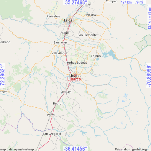
Linares GPS coordinates[2]
35° 50' 48.012" South, 71° 35' 35.088" West
| Map corner | latitude | longitude |
|---|---|---|
| Upper-left | -35.27468°, | -72.29621° |
| Center: | -35.84667°, | -71.59308° |
| Lower-right: | -36.41456°, | -70.88996° |
| Map W x H: | 126.7×126.7 km | = 78.7×78.7mi |
| max Lat: | -18.19821° ⇑48.3% North |
| Linares: | -35.84667° |
| min Lat: | ⇓51.7% South -54.93355° |
| min Long | Linares | max Long |
| -109.42438° | -71.59308° | -67.60963° |
| W 54.5%⇐ | ⇒45.5% E |
Elevation
Elevation of Linares is 165 m = 541 ft, and this is 108 m = 354 ft below average elevation for this country.
| Max E: |
3544 m = 11627 ft | 45.5% |
| Avg. | 273 m = 896 ft | |
| Linares | 165 m = 541 ft | |
Min E: |
1 m = 3 ft | 54.5% |
See also: Linares elevation on elevation.city.
Geographical zone
Linares is located in South temperate zone (between Tropic of Capricorn and the Antarctic Circle). Distance of this Southern Tropic circle is 1379.9 km =857.4 mi to North.| Distance of | km | miles | from Linares |
|---|---|---|---|
| Equator | 3985.8 | 2476.7 | to North |
| Tropic Capricorn | 1379.9 | 857.4 | to North |
| Antarctic Circle | 3415.4 | 2122.2 | to South |
| South Pole | 6021.3 | 3741.5 | to South |


Nearby cities:
15 places around Linares: (largest is in red/bold)
• Cauquenes
67 km =41.6 mi,  258°
258°
• Chillán
96.1 km =59.7 mi,  208°
208°
• Coihueco
89.4 km =55.6 mi,  193°
193°
• Colbún
23.9 km =14.9 mi,  45°
45°
• Constitución
93.5 km =58.1 mi,  307°
307°
• Curicó
101.3 km =62.9 mi,  18°
18°
• Longaví
15.5 km =9.6 mi, 211°
• Molina
86.2 km =53.6 mi, 19°
• Parral
39.1 km =24.3 mi, 212°
• Quirihue
97.9 km =60.8 mi,  240°
240°
• Rauco
105.4 km =65.5 mi,  13°
13°
• San Carlos
72.1 km =44.8 mi, 207°
• San Clemente
35.7 km =22.2 mi, 15°
• San Javier
30.5 km =19 mi,  336°
336°
• Talca
47.1 km =29.3 mi,  353°
353°
Sources, notices
• [Note1] Compared only with cities in Chile existing in our database
• [Src1] Map data: © OpenStreetMap contributors (CC-BY-SA)
• [Src2] Other city data from geonames.org with taken over terms of usage.
• [Src3] Geographical zone / Annual Mean Temperature by Robert A. Rohde @ Wikipedia
