Xintai geodata
Xintai (Shandong) is a populated place; located in China in Asia/Shanghai (GMT+8) time zone. With population of 222,459 people, there are 216 cities with bigger population in this country. Compared to other cities in China, 77% of cities are located further ↓South; 69.7% of cities are located further ←West and 54% of cities have lower elevation than Xintai. Note1


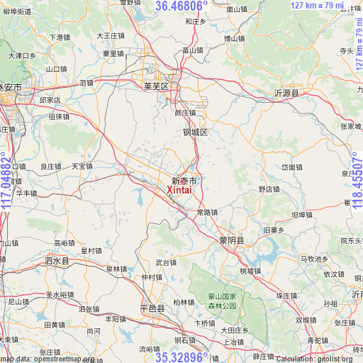
Xintai GPS coordinates[2]
35° 54' 2.016" North, 117° 45' 6.984" East
| Map corner | latitude | longitude |
|---|---|---|
| Upper-left | 36.46806°, | 117.04882° |
| Center: | 35.90056°, | 117.75194° |
| Lower-right: | 35.32896°, | 118.45507° |
| Map W x H: | 126.7×126.7 km | = 78.7×78.7mi |
| max Lat: | 53.31946° ⇑23% North |
| Xintai: | 35.90056° |
| min Lat: | ⇓77% South 18.22056° |
| min Long | Xintai | max Long |
| 75.07348° | 117.75194° | 134.28917° |
| W 69.7%⇐ | ⇒30.3% E |
Elevation
Elevation of Xintai is 197 m = 646 ft, and this is 287.8 m = 944 ft below average elevation for this country.
| Max E: |
5622 m = 18445 ft | 46% |
| Avg. | 484.8 m = 1591 ft | |
| Xintai | 197 m = 646 ft | |
Min E: |
-3 m = -10 ft | 54% |
See also: Xintai elevation on elevation.city.
Geographical zone
Xintai is located in North temperate zone (between Tropic of Cancer and the Arctic Circle). Distance of this Northern Tropic circle is 1385.8 km =861.1 mi to South.| Distance of | km | miles | from Xintai |
|---|---|---|---|
| North Pole | 6015.3 | 3737.7 | to North |
| Arctic Circle | 3409.4 | 2118.5 | to North |
| Tropic Cancer | 1385.8 | 861.1 | to South |
| Equator | 3991.8 | 2480.4 | to South |


Nearby cities:
15 places around Xintai: (largest is in red/bold)
• Boshan
65.2 km =40.5 mi,  6°
6°
• Dongdu
7.3 km =4.5 mi,  219°
219°
• Dongping
70.1 km =43.6 mi,  18°
18°
• Feicheng
73.8 km =45.9 mi,  164°
164°
• Jiehu
74.9 km =46.5 mi,  122°
122°
• Laiwu
33.6 km =20.9 mi,  345°
345°
• Lingcheng
85.6 km =53.2 mi,  241°
241°
• Mengyin
26.7 km =16.6 mi,  143°
143°
• Nanma
48.1 km =29.9 mi,  48°
48°
• Ningyang
87.9 km =54.6 mi,  260°
260°
• Pingyi
45.8 km =28.5 mi,  193°
193°
• Qufu
76.5 km =47.5 mi, 243°
• Sishui
51.3 km =31.9 mi, 236°
• Tai’an
65 km =40.4 mi,  299°
299°
• Yishui
80 km =49.7 mi,  99°
99°
Sources, notices
• [Note1] Compared only with cities in China existing in our database
• [Src1] Map data: © OpenStreetMap contributors (CC-BY-SA)
• [Src2] Other city data from geonames.org with taken over terms of usage.
• [Src3] Geographical zone / Annual Mean Temperature by Robert A. Rohde @ Wikipedia
