Dongdu geodata
Dongdu (Shandong) is a populated place; located in China in Asia/Shanghai (GMT+8) time zone. With population of 72,957 people, there are 586 cities with bigger population in this country. Compared to other cities in China, 76.9% of cities are located further ↓South; 69.5% of cities are located further ←West and 54.3% of cities have lower elevation than Dongdu. Note1


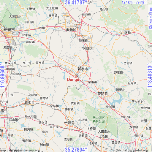
Dongdu GPS coordinates[2]
35° 51' 0" North, 117° 42' 0" East
| Map corner | latitude | longitude |
|---|---|---|
| Upper-left | 36.41787°, | 116.99688° |
| Center: | 35.85°, | 117.7° |
| Lower-right: | 35.27804°, | 118.40313° |
| Map W x H: | 126.7×126.7 km | = 78.7×78.7mi |
| max Lat: | 53.31946° ⇑23.1% North |
| Dongdu: | 35.85° |
| min Lat: | ⇓76.9% South 18.22056° |
| min Long | Dongdu | max Long |
| 75.07348° | 117.7° | 134.28917° |
| W 69.5%⇐ | ⇒30.5% E |
Elevation
Elevation of Dongdu is 200 m = 656 ft, and this is 284.8 m = 934 ft below average elevation for this country.
| Max E: |
5622 m = 18445 ft | 45.7% |
| Avg. | 484.8 m = 1591 ft | |
| Dongdu | 200 m = 656 ft | |
Min E: |
-3 m = -10 ft | 54.3% |
See also: Dongdu elevation on elevation.city.
Geographical zone
Dongdu is located in North temperate zone (between Tropic of Cancer and the Arctic Circle). Distance of this Northern Tropic circle is 1380.2 km =857.6 mi to South.| Distance of | km | miles | from Dongdu |
|---|---|---|---|
| North Pole | 6020.9 | 3741.2 | to North |
| Arctic Circle | 3415 | 2122 | to North |
| Tropic Cancer | 1380.2 | 857.6 | to South |
| Equator | 3986.1 | 2476.8 | to South |


Nearby cities:
15 places around Dongdu: (largest is in red/bold)
• Boshan
71.4 km =44.4 mi,  9°
9°
• Dongping
76.9 km =47.8 mi,  20°
20°
• Feicheng
69.9 km =43.4 mi,  159°
159°
• Jiehu
76.3 km =47.4 mi,  116°
116°
• Laiwu
38.3 km =23.8 mi,  354°
354°
• Lingcheng
78.9 km =49 mi,  243°
243°
• Mengyin
25.9 km =16.1 mi,  127°
127°
• Nanma
55.3 km =34.4 mi,  47°
47°
• Ningyang
82.5 km =51.3 mi,  263°
263°
• Pingyi
39.4 km =24.5 mi,  189°
189°
• Qufu
69.9 km =43.4 mi,  246°
246°
• Sishui
44.3 km =27.5 mi, 239°
• Tai’an
64.1 km =39.8 mi,  305°
305°
• Xintai
7.3 km =4.5 mi,  39°
39°
• Zoucheng
83.1 km =51.6 mi,  233°
233°
Sources, notices
• [Note1] Compared only with cities in China existing in our database
• [Src1] Map data: © OpenStreetMap contributors (CC-BY-SA)
• [Src2] Other city data from geonames.org with taken over terms of usage.
• [Src3] Geographical zone / Annual Mean Temperature by Robert A. Rohde @ Wikipedia
