Linxin geodata
Linxin (Qinghai) is a seat of a fourth-order administrative division; located in China in Asia/Shanghai (GMT+8) time zone. In our database, there are 1268 cities with bigger population. Compared to other cities in China, 68.4% of cities are located further ↓South; 95.9% of cities are located further →East and 99.3% of cities have lower elevation than Linxin. Note1


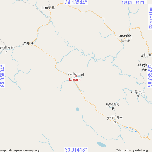
Linxin GPS coordinates[2]
33° 36' 6.48" North, 96° 3' 43.776" East
| Map corner | latitude | longitude |
|---|---|---|
| Upper-left | 34.18544°, | 95.35904° |
| Center: | 33.6018°, | 96.06216° |
| Lower-right: | 33.01418°, | 96.76529° |
| Map W x H: | 130.2×130.2 km | = 80.9×80.9mi |
| max Lat: | 53.31946° ⇑31.6% North |
| Linxin: | 33.6018° |
| min Lat: | ⇓68.4% South 18.22056° |
| min Long | Linxin | max Long |
| 75.07348° | 96.06216° | 134.28917° |
| W 4.1%⇐ | ⇒95.9% E |
Elevation
Elevation of Linxin is 4321 m = 14177 ft, and this is 3836.2 m = 12586 ft above average elevation for this country.
| Max E: |
5622 m = 18445 ft | 0.7% |
| Linxin | 4321 m 14177 ft | |
| Avg. | 484.8 m = 1591 ft | |
Min E: |
-3 m = -10 ft | 99.3% |
See also: China elevation on elevation.city.
Geographical zone
Linxin is located in North temperate zone (between Tropic of Cancer and the Arctic Circle). Distance of this Northern Tropic circle is 1130.3 km =702.3 mi to South.| Distance of | km | miles | from Linxin |
|---|---|---|---|
| North Pole | 6270.9 | 3896.6 | to North |
| Arctic Circle | 3665 | 2277.3 | to North |
| Tropic Cancer | 1130.3 | 702.3 | to South |
| Equator | 3736.2 | 2321.6 | to South |


Nearby cities:
15 places around Linxin: (largest is in red/bold)
• Anchong
55.1 km =34.2 mi,  105°
105°
• Bagan
53.7 km =33.4 mi,  52°
52°
• Dongfeng
56.3 km =35 mi,  15°
15°
• Duocai
63.7 km =39.6 mi,  291°
291°
• Gaduo
59.3 km =36.8 mi,  82°
82°
• Gyairong
49.8 km =30.9 mi,  137°
137°
• Lab
106.7 km =66.3 mi, 110°
• Namsai
99.9 km =62.1 mi,  204°
204°
• Qigzhi
113.7 km =70.6 mi,  340°
340°
• Qingshuihe
101.9 km =63.3 mi, 77°
• Shanglaxiu
96.3 km =59.8 mi,  149°
149°
• Zadoi
65.6 km =40.8 mi,  73°
73°
• Zaqing
102 km =63.4 mi,  234°
234°
• Zhiqu
93.9 km =58.3 mi,  326°
326°
• Zhoinda
100.4 km =62.4 mi,  116°
116°
Sources, notices
• [Note1] Compared only with cities in China existing in our database
• [Src1] Map data: © OpenStreetMap contributors (CC-BY-SA)
• [Src2] Other city data from geonames.org with taken over terms of usage.
• [Src3] Geographical zone / Annual Mean Temperature by Robert A. Rohde @ Wikipedia
