Dongfeng geodata
Dongfeng (Qinghai) is a seat of a fourth-order administrative division; located in China in Asia/Shanghai (GMT+8) time zone. In our database, there are 1268 cities with bigger population. Compared to other cities in China, 70.6% of cities are located further ↓South; 95.8% of cities are located further →East and 99.4% of cities have lower elevation than Dongfeng. Note1


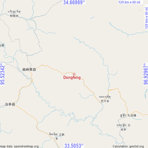
Dongfeng GPS coordinates[2]
34° 5' 22.56" North, 96° 13' 35.544" East
| Map corner | latitude | longitude |
|---|---|---|
| Upper-left | 34.66989°, | 95.52342° |
| Center: | 34.0896°, | 96.22654° |
| Lower-right: | 33.5053°, | 96.92967° |
| Map W x H: | 129.5×129.5 km | = 80.5×80.5mi |
| max Lat: | 53.31946° ⇑29.4% North |
| Dongfeng: | 34.0896° |
| min Lat: | ⇓70.6% South 18.22056° |
| min Long | Dongfeng | max Long |
| 75.07348° | 96.22654° | 134.28917° |
| W 4.2%⇐ | ⇒95.8% E |
Elevation
Elevation of Dongfeng is 4364 m = 14318 ft, and this is 3879.2 m = 12727 ft above average elevation for this country.
| Max E: |
5622 m = 18445 ft | 0.59999999999999% |
| Dongfeng | 4364 m 14318 ft | |
| Avg. | 484.8 m = 1591 ft | |
Min E: |
-3 m = -10 ft | 99.4% |
See also: China elevation on elevation.city.
Geographical zone
Dongfeng is located in North temperate zone (between Tropic of Cancer and the Arctic Circle). Distance of this Northern Tropic circle is 1184.5 km =736 mi to South.| Distance of | km | miles | from Dongfeng |
|---|---|---|---|
| North Pole | 6216.7 | 3862.9 | to North |
| Arctic Circle | 3610.8 | 2243.6 | to North |
| Tropic Cancer | 1184.5 | 736 | to South |
| Equator | 3790.4 | 2355.2 | to South |


Nearby cities:
15 places around Dongfeng: (largest is in red/bold)
• Anchong
78.9 km =49 mi,  151°
151°
• Bagan
34.5 km =21.4 mi,  128°
128°
• Duocai
80.5 km =50 mi,  247°
247°
• Gaduo
63.3 km =39.3 mi,  136°
136°
• Gyairong
92.9 km =57.7 mi,  168°
168°
• Lab
124.3 km =77.2 mi, 137°
• Linxin
56.3 km =35 mi,  195°
195°
• Madoi
104.8 km =65.1 mi,  7°
7°
• Qigzhi
74.5 km =46.3 mi,  315°
315°
• Qingshuihe
89.7 km =55.7 mi,  110°
110°
• Shanglaxiu
141.3 km =87.8 mi, 166°
• Yege
97.5 km =60.6 mi,  303°
303°
• Zadoi
59.4 km =36.9 mi, 126°
• Zhiqu
70.8 km =44 mi,  290°
290°
• Zhoinda
123.8 km =76.9 mi, 143°
Sources, notices
• [Note1] Compared only with cities in China existing in our database
• [Src1] Map data: © OpenStreetMap contributors (CC-BY-SA)
• [Src2] Other city data from geonames.org with taken over terms of usage.
• [Src3] Geographical zone / Annual Mean Temperature by Robert A. Rohde @ Wikipedia
