Shanglaxiu geodata
Shanglaxiu (Qinghai) is a seat of a fourth-order administrative division; located in China in Asia/Shanghai (GMT+8) time zone. In our database, there are 1268 cities with bigger population. Compared to other cities in China, 65.3% of cities are located further ↓South; 95.8% of cities are located further →East and 99.1% of cities have lower elevation than Shanglaxiu. Note1


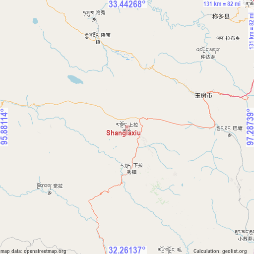
Shanglaxiu GPS coordinates[2]
32° 51' 14.364" North, 96° 35' 3.336" East
| Map corner | latitude | longitude |
|---|---|---|
| Upper-left | 33.44268°, | 95.88114° |
| Center: | 32.85399°, | 96.58426° |
| Lower-right: | 32.26137°, | 97.28739° |
| Map W x H: | 131.3×131.4 km | = 81.6×81.6mi |
| max Lat: | 53.31946° ⇑34.7% North |
| Shanglaxiu: | 32.85399° |
| min Lat: | ⇓65.3% South 18.22056° |
| min Long | Shanglaxiu | max Long |
| 75.07348° | 96.58426° | 134.28917° |
| W 4.2%⇐ | ⇒95.8% E |
Elevation
Elevation of Shanglaxiu is 4230 m = 13878 ft, and this is 3745.2 m = 12287 ft above average elevation for this country.
| Max E: |
5622 m = 18445 ft | 0.90000000000001% |
| Shanglaxiu | 4230 m 13878 ft | |
| Avg. | 484.8 m = 1591 ft | |
Min E: |
-3 m = -10 ft | 99.1% |
See also: China elevation on elevation.city.
Geographical zone
Shanglaxiu is located in North temperate zone (between Tropic of Cancer and the Arctic Circle). Distance of this Northern Tropic circle is 1047.1 km =650.6 mi to South.| Distance of | km | miles | from Shanglaxiu |
|---|---|---|---|
| North Pole | 6354 | 3948.2 | to North |
| Arctic Circle | 3748.2 | 2329 | to North |
| Tropic Cancer | 1047.1 | 650.6 | to South |
| Equator | 3653 | 2269.9 | to South |


Nearby cities:
15 places around Shanglaxiu: (largest is in red/bold)
• Anchong
68.2 km =42.4 mi,  3°
3°
• Baitang
53.4 km =33.2 mi,  93°
93°
• Gaduo
91.9 km =57.1 mi,  6°
6°
• Gyairong
48.7 km =30.3 mi,  341°
341°
• Gyobrag
51.3 km =31.9 mi,  231°
231°
• Lab
69.7 km =43.3 mi,  48°
48°
• Mozhong
68.6 km =42.6 mi,  161°
161°
• Namsai
90.9 km =56.5 mi,  265°
265°
• Qiezha
86.8 km =53.9 mi,  184°
184°
• Xangda
72.8 km =45.2 mi,  187°
187°
• Xialaxiu
20.9 km =13 mi,  173°
173°
• Xiao Surmang
82.7 km =51.4 mi,  132°
132°
• Xiwu
77.5 km =48.2 mi,  66°
66°
• Zhexiao
87.9 km =54.6 mi,  244°
244°
• Zhoinda
56.7 km =35.2 mi, 47°
Sources, notices
• [Note1] Compared only with cities in China existing in our database
• [Src1] Map data: © OpenStreetMap contributors (CC-BY-SA)
• [Src2] Other city data from geonames.org with taken over terms of usage.
• [Src3] Geographical zone / Annual Mean Temperature by Robert A. Rohde @ Wikipedia
