Changmahe geodata
Changmahe (Qinghai) is a seat of a fourth-order administrative division; located in China in Asia/Shanghai (GMT+8) time zone. In our database, there are 1268 cities with bigger population. Compared to other cities in China, 72.6% of cities are located further ↓South; 95% of cities are located further →East and 99.3% of cities have lower elevation than Changmahe. Note1


Changmahe GPS coordinates[2]
34° 29' 11.004" North, 99° 10' 53.508" East
| Map corner | latitude | longitude |
|---|---|---|
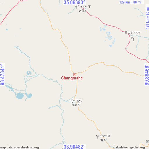
| Upper-left | 35.06393°, | 98.47841° |
| Center: | 34.48639°, | 99.18153° |
| Lower-right: | 33.90482°, | 99.88466° |
| Map W x H: | 128.9×128.9 km | = 80.1×80.1mi |
| max Lat: | 53.31946° ⇑27.4% North |
| Changmahe: | 34.48639° |
| min Lat: | ⇓72.6% South 18.22056° |
| min Long | Changmahe | max Long |
| 75.07348° | 99.18153° | 134.28917° |
| W 5%⇐ | ⇒95% E |
Elevation
Elevation of Changmahe is 4336 m = 14226 ft, and this is 3851.2 m = 12635 ft above average elevation for this country.
| Max E: |
5622 m = 18445 ft | 0.7% |
| Changmahe | 4336 m 14226 ft | |
| Avg. | 484.8 m = 1591 ft | |
Min E: |
-3 m = -10 ft | 99.3% |
See also: China elevation on elevation.city.
Geographical zone
Changmahe is located in North temperate zone (between Tropic of Cancer and the Arctic Circle). Distance of this Northern Tropic circle is 1228.6 km =763.4 mi to South.| Distance of | km | miles | from Changmahe |
|---|---|---|---|
| North Pole | 6172.5 | 3835.4 | to North |
| Arctic Circle | 3566.6 | 2216.2 | to North |
| Tropic Cancer | 1228.6 | 763.4 | to South |
| Equator | 3834.5 | 2382.6 | to South |


Nearby cities:
15 places around Changmahe: (largest is in red/bold)
• Dawu
94.8 km =58.9 mi,  89°
89°
• Dongqinggou
72.2 km =44.9 mi, 86°
• Huanghe
79.7 km =49.5 mi,  276°
276°
• Huashixia
78.3 km =48.7 mi,  333°
333°
• Jianshe
91.5 km =56.9 mi,  167°
167°
• Jimai
92.3 km =57.4 mi,  152°
152°
• Kequ
87.7 km =54.5 mi,  131°
131°
• Sangruma
93 km =57.8 mi,  178°
178°
• Shanggongma
85.2 km =52.9 mi, 148°
• Tanglag
59.6 km =37 mi,  155°
155°
• Tehetu
65.9 km =40.9 mi, 184°
• Wenquan
92.3 km =57.4 mi,  28°
28°
• Xia Dawo
58 km =36 mi,  7°
7°
• Xueshan
60.5 km =37.6 mi,  55°
55°
• Youyun
23.9 km =14.9 mi, 177°
Sources, notices
• [Note1] Compared only with cities in China existing in our database
• [Src1] Map data: © OpenStreetMap contributors (CC-BY-SA)
• [Src2] Other city data from geonames.org with taken over terms of usage.
• [Src3] Geographical zone / Annual Mean Temperature by Robert A. Rohde @ Wikipedia
