Luring geodata
Luring (Tibet) is a seat of a third-order administrative division; located in China in Asia/Shanghai (GMT+8) time zone. In our database, there are 1268 cities with bigger population. Compared to other cities in China, 62.8% of cities are located further ↓South; 98.8% of cities are located further →East and 99.6% of cities have lower elevation than Luring. Note1


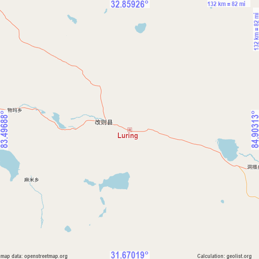
Luring GPS coordinates[2]
32° 16' 0.012" North, 84° 12' 0" East
| Map corner | latitude | longitude |
|---|---|---|
| Upper-left | 32.85926°, | 83.49688° |
| Center: | 32.26667°, | 84.2° |
| Lower-right: | 31.67019°, | 84.90313° |
| Map W x H: | 132.2×132.2 km | = 82.1×82.1mi |
| max Lat: | 53.31946° ⇑37.2% North |
| Luring: | 32.26667° |
| min Lat: | ⇓62.8% South 18.22056° |
| min Long | Luring | max Long |
| 75.07348° | 84.2° | 134.28917° |
| W 1.2%⇐ | ⇒98.8% E |
Elevation
Elevation of Luring is 4500 m = 14764 ft, and this is 4015.2 m = 13173 ft above average elevation for this country.
| Max E: |
5622 m = 18445 ft | 0.40000000000001% |
| Luring | 4500 m 14764 ft | |
| Avg. | 484.8 m = 1591 ft | |
Min E: |
-3 m = -10 ft | 99.6% |
See also: China elevation on elevation.city.
Geographical zone
Luring is located in North temperate zone (between Tropic of Cancer and the Arctic Circle). Distance of this Northern Tropic circle is 981.8 km =610.1 mi to South.| Distance of | km | miles | from Luring |
|---|---|---|---|
| North Pole | 6419.3 | 3988.8 | to North |
| Arctic Circle | 3813.5 | 2369.6 | to North |
| Tropic Cancer | 981.8 | 610.1 | to South |
| Equator | 3587.7 | 2229.3 | to South |


Nearby cities:
14 places around Luring: (largest is in red/bold)
• Burang
361.4 km =224.6 mi,  232°
232°
• Cuozheqiangma
351.9 km =218.7 mi,  70°
70°
• Darchen
313.1 km =194.6 mi,  241°
241°
• Gangsha
310.8 km =193.1 mi, 242°
• Geji
287.9 km =178.9 mi,  272°
272°
• Jisegumen
376.5 km =233.9 mi,  302°
302°
• Langjiu
354.7 km =220.4 mi, 271°
• Lumaka
370 km =229.9 mi,  284°
284°
• Maindong
154.9 km =96.3 mi,  132°
132°
• Saga
341.6 km =212.3 mi,  163°
163°
• Xagmakajor
196.1 km =121.9 mi, 244°
• Zhabu
126.5 km =78.6 mi,  318°
318°
• Zhadong
291 km =180.8 mi,  180°
180°
• Zongga
376.8 km =234.1 mi, 164°
Sources, notices
• [Note1] Compared only with cities in China existing in our database
• [Src1] Map data: © OpenStreetMap contributors (CC-BY-SA)
• [Src2] Other city data from geonames.org with taken over terms of usage.
• [Src3] Geographical zone / Annual Mean Temperature by Robert A. Rohde @ Wikipedia
