Codoi geodata
Codoi (Tibet) is a seat of a fourth-order administrative division; located in China in Asia/Shanghai (GMT+8) time zone. In our database, there are 1268 cities with bigger population. Compared to other cities in China, 50.2% of cities are located further ↓South; 96.7% of cities are located further →East and 99.6% of cities have lower elevation than Codoi. Note1


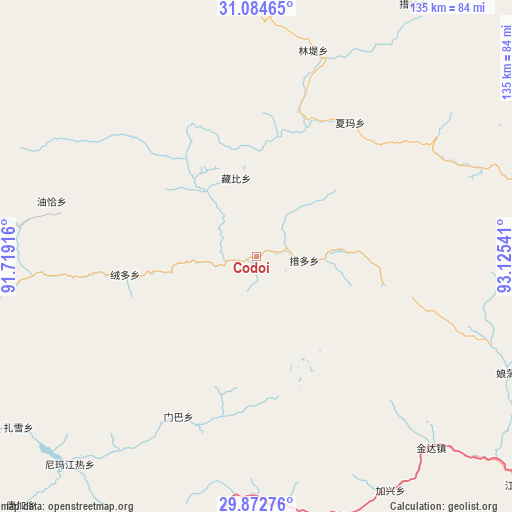
Codoi GPS coordinates[2]
30° 28' 50.124" North, 92° 25' 20.208" East
| Map corner | latitude | longitude |
|---|---|---|
| Upper-left | 31.08465°, | 91.71916° |
| Center: | 30.48059°, | 92.42228° |
| Lower-right: | 29.87276°, | 93.12541° |
| Map W x H: | 134.7×134.8 km | = 83.7×83.8mi |
| max Lat: | 53.31946° ⇑49.8% North |
| Codoi: | 30.48059° |
| min Lat: | ⇓50.2% South 18.22056° |
| min Long | Codoi | max Long |
| 75.07348° | 92.42228° | 134.28917° |
| W 3.3%⇐ | ⇒96.7% E |
Elevation
Elevation of Codoi is 4578 m = 15020 ft, and this is 4093.2 m = 13429 ft above average elevation for this country.
| Max E: |
5622 m = 18445 ft | 0.40000000000001% |
| Codoi | 4578 m 15020 ft | |
| Avg. | 484.8 m = 1591 ft | |
Min E: |
-3 m = -10 ft | 99.6% |
See also: China elevation on elevation.city.
Geographical zone
Codoi is located in North temperate zone (between Tropic of Cancer and the Arctic Circle). Distance of this Northern Tropic circle is 783.2 km =486.7 mi to South.| Distance of | km | miles | from Codoi |
|---|---|---|---|
| North Pole | 6617.9 | 4112.2 | to North |
| Arctic Circle | 4012.1 | 2493 | to North |
| Tropic Cancer | 783.2 | 486.7 | to South |
| Equator | 3389.1 | 2105.9 | to South |


Nearby cities:
15 places around Codoi: (largest is in red/bold)
• Arza
80.7 km =50.1 mi,  76°
76°
• Cola
78.7 km =48.9 mi,  32°
32°
• Dagsar
89 km =55.3 mi,  351°
351°
• Golug
85.9 km =53.4 mi,  296°
296°
• Goqung
99.8 km =62 mi,  66°
66°
• Lhari
92.3 km =57.4 mi, 71°
• Lingti
55.1 km =34.2 mi,  15°
15°
• Lomai
88.5 km =55 mi,  13°
13°
• Rongdoi
36 km =22.4 mi,  262°
262°
• Sexiong
109.6 km =68.1 mi, 21°
• Xarlung
106.2 km =66 mi,  127°
127°
• Xarma
43.1 km =26.8 mi,  35°
35°
• Xomong
93.5 km =58.1 mi,  310°
310°
• Yoiqag
55.8 km =34.7 mi,  285°
285°
• Zangbi
21.4 km =13.3 mi, 345°
Sources, notices
• [Note1] Compared only with cities in China existing in our database
• [Src1] Map data: © OpenStreetMap contributors (CC-BY-SA)
• [Src2] Other city data from geonames.org with taken over terms of usage.
• [Src3] Geographical zone / Annual Mean Temperature by Robert A. Rohde @ Wikipedia
