Yoiqag geodata
Yoiqag (Tibet) is a seat of a fourth-order administrative division; located in China in Asia/Shanghai (GMT+8) time zone. In our database, there are 1268 cities with bigger population. Compared to other cities in China, 51.3% of cities are located further ↓South; 96.8% of cities are located further →East and 99.6% of cities have lower elevation than Yoiqag. Note1


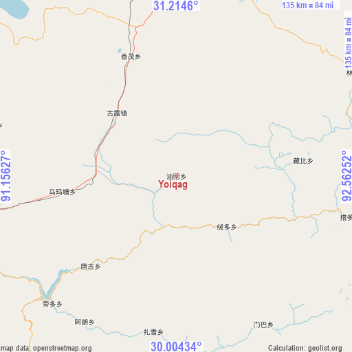
Yoiqag GPS coordinates[2]
30° 36' 40.896" North, 91° 51' 33.804" East
| Map corner | latitude | longitude |
|---|---|---|
| Upper-left | 31.2146°, | 91.15627° |
| Center: | 30.61136°, | 91.85939° |
| Lower-right: | 30.00434°, | 92.56252° |
| Map W x H: | 134.6×134.6 km | = 83.6×83.6mi |
| max Lat: | 53.31946° ⇑48.7% North |
| Yoiqag: | 30.61136° |
| min Lat: | ⇓51.3% South 18.22056° |
| min Long | Yoiqag | max Long |
| 75.07348° | 91.85939° | 134.28917° |
| W 3.2%⇐ | ⇒96.8% E |
Elevation
Elevation of Yoiqag is 4576 m = 15013 ft, and this is 4091.2 m = 13423 ft above average elevation for this country.
| Max E: |
5622 m = 18445 ft | 0.40000000000001% |
| Yoiqag | 4576 m 15013 ft | |
| Avg. | 484.8 m = 1591 ft | |
Min E: |
-3 m = -10 ft | 99.6% |
See also: China elevation on elevation.city.
Geographical zone
Yoiqag is located in North temperate zone (between Tropic of Cancer and the Arctic Circle). Distance of this Northern Tropic circle is 797.7 km =495.7 mi to South.| Distance of | km | miles | from Yoiqag |
|---|---|---|---|
| North Pole | 6603.4 | 4103.2 | to North |
| Arctic Circle | 3997.5 | 2483.9 | to North |
| Tropic Cancer | 797.7 | 495.7 | to South |
| Equator | 3403.7 | 2115 | to South |


Nearby cities:
15 places around Yoiqag: (largest is in red/bold)
• Codoi
55.8 km =34.7 mi,  105°
105°
• Cola
108.8 km =67.6 mi,  61°
61°
• Dagsar
84.2 km =52.3 mi,  29°
29°
• Golug
33.3 km =20.7 mi,  316°
316°
• Jibenggang
127.2 km =79 mi,  213°
213°
• Lingti
78.5 km =48.8 mi, 60°
• Lomai
103 km =64 mi,  45°
45°
• Nagqu
89.1 km =55.4 mi,  8°
8°
• Nagqu
98.1 km =61 mi, 11°
• Namaqie
110.9 km =68.9 mi,  337°
337°
• Nyima
92.4 km =57.4 mi,  304°
304°
• Rongdoi
26.3 km =16.3 mi,  136°
136°
• Xarma
81.3 km =50.5 mi,  75°
75°
• Xomong
49 km =30.4 mi, 338°
• Zangbi
48.8 km =30.3 mi, 82°
Sources, notices
• [Note1] Compared only with cities in China existing in our database
• [Src1] Map data: © OpenStreetMap contributors (CC-BY-SA)
• [Src2] Other city data from geonames.org with taken over terms of usage.
• [Src3] Geographical zone / Annual Mean Temperature by Robert A. Rohde @ Wikipedia
