Ibagué geodata
Ibagué (Tolima) is a seat of a first-order administrative division; located in Colombia in America/Bogota (GMT-5) time zone. With population of 421,685 people, there are 9 cities with bigger population in this country. Compared to other cities in Colombia, 72.3% of cities are located further ↑North; 59.8% of cities are located further →East and 52.6% of cities have lower elevation than Ibagué. Note1


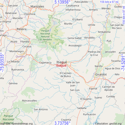
Ibagué GPS coordinates[2]
4° 26' 20.004" North, 75° 13' 55.992" West
| Map corner | latitude | longitude |
|---|---|---|
| Upper-left | 5.13956°, | -75.93535° |
| Center: | 4.43889°, | -75.23222° |
| Lower-right: | 3.73756°, | -74.5291° |
| Map W x H: | 155.9×155.9 km | = 96.9×96.9mi |
| max Lat: | 13.38166° ⇑72.3% North |
| Ibagué: | 4.43889° |
| min Lat: | ⇓27.7% South -4.21528° |
| min Long | Ibagué | max Long |
| -81.70636° | -75.23222° | -67.06996° |
| W 40.2%⇐ | ⇒59.8% E |
Elevation
Elevation of Ibagué is 1229 m = 4032 ft, and this is 79.7 m = 261 ft above average elevation for this country.
| Max E: |
3342 m = 10965 ft | 47.4% |
| Ibagué | 1229 m 4032 ft | |
| Avg. | 1149.3 m = 3771 ft | |
Min E: |
1 m = 3 ft | 52.6% |
See also: Ibagué elevation on elevation.city.
Geographical zone
Ibagué is located in North Torrid zone (between Equator and Tropic of Cancer). Distance of Equator is 493.6 km =306.7 mi to South.| Distance of | km | miles | from Ibagué |
|---|---|---|---|
| North Pole | 9513.5 | 5911.4 | to North |
| Arctic Circle | 6907.6 | 4292.2 | to North |
| Tropic Cancer | 2112.4 | 1312.6 | to North |
| Equator | 493.6 | 306.7 | to South |


Nearby cities:
15 places around Ibagué: (largest is in red/bold)
• Alvarado
34.2 km =21.3 mi,  65°
65°
• Anaime
24.1 km =15 mi,  258°
258°
• Anzoátegui
26.2 km =16.3 mi,  35°
35°
• Cajamarca
21.8 km =13.5 mi,  271°
271°
• Chicoral
37.3 km =23.2 mi,  131°
131°
• Coello
7.9 km =4.9 mi,  239°
239°
• Coello
40.6 km =25.2 mi,  114°
114°
• Doima
28.5 km =17.7 mi,  92°
92°
• Laureles
22.3 km =13.9 mi,  206°
206°
• Payandé
21.7 km =13.5 mi,  136°
136°
• Piedras
40.9 km =25.4 mi, 73°
• Rovira
22.2 km =13.8 mi,  182°
182°
• San Luis
37.3 km =23.2 mi,  155°
155°
• Santa Isabel
34 km =21.1 mi,  25°
25°
• Valle de San Juan
29.6 km =18.4 mi,  154°
154°
Sources, notices
• [Note1] Compared only with cities in Colombia existing in our database
• [Src1] Map data: © OpenStreetMap contributors (CC-BY-SA)
• [Src2] Other city data from geonames.org with taken over terms of usage.
• [Src3] Geographical zone / Annual Mean Temperature by Robert A. Rohde @ Wikipedia
