Leonárisso geodata
Leonárisso (Ammochostos) is a populated place; located in Cyprus in Asia/Famagusta (GMT+2) time zone. With population of 1,593 people, there are 61 cities with bigger population in this country. Compared to other cities in Cyprus, 99.1% of cities are located further ↓South; 99.1% of cities are located further ←West and 53% of cities have lower elevation than Leonárisso. Note1


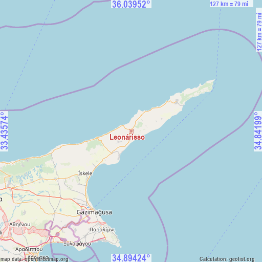
Leonárisso GPS coordinates[2]
35° 28' 8.112" North, 34° 8' 19.896" East
| Map corner | latitude | longitude |
|---|---|---|
| Upper-left | 36.03952°, | 33.43574° |
| Center: | 35.46892°, | 34.13886° |
| Lower-right: | 34.89424°, | 34.84199° |
| Map W x H: | 127.3×127.3 km | = 79.1×79.1mi |
| max Lat: | 35.59719° ⇑0.9% North |
| Leonárisso: | 35.46892° |
| min Lat: | ⇓99.1% South 34.66865° |
| min Long | Leonárisso | max Long |
| 32.38166° | 34.13886° | 34.37916° |
| W 99.1%⇐ | ⇒0.90000000000001% E |
Elevation
Elevation of Leonárisso is 137 m = 449 ft, and this is 71 m = 233 ft below average elevation for this country.
| Max E: |
1134 m = 3720 ft | 47% |
| Avg. | 208 m = 682 ft | |
| Leonárisso | 137 m = 449 ft | |
Min E: |
4 m = 13 ft | 53% |
See also: Cyprus elevation on elevation.city.
Geographical zone
Leonárisso is located in North temperate zone (between Tropic of Cancer and the Arctic Circle). Distance of this Northern Tropic circle is 1337.9 km =831.3 mi to South.| Distance of | km | miles | from Leonárisso |
|---|---|---|---|
| North Pole | 6063.3 | 3767.6 | to North |
| Arctic Circle | 3457.4 | 2148.3 | to North |
| Tropic Cancer | 1337.9 | 831.3 | to South |
| Equator | 3943.8 | 2450.6 | to South |


Nearby cities:
15 places around Leonárisso: (largest is in red/bold)
• Acherítou
48.1 km =29.9 mi,  211°
211°
• Avgórou
55.3 km =34.4 mi, 209°
• Ayia Napa
55.5 km =34.5 mi,  192°
192°
• Derýneia
47.7 km =29.6 mi,  199°
199°
• Famagusta
42.8 km =26.6 mi, 205°
• Frénaros
51.5 km =32 mi, 202°
• Lefkónoiko
43.6 km =27.1 mi,  237°
237°
• Liopétri
55.8 km =34.7 mi, 203°
• Paralímni
49.8 km =30.9 mi, 196°
• Protaras
51.3 km =31.9 mi, 188°
• Pérgamos
61.5 km =38.2 mi,  219°
219°
• Rizokárpaso
26 km =16.2 mi,  56°
56°
• Tríkomo
30.2 km =18.8 mi,  227°
227°
• Xylofágou
60.7 km =37.7 mi, 205°
• Áchna
56.2 km =34.9 mi, 215°
Sources, notices
• [Note1] Compared only with cities in Cyprus existing in our database
• [Src1] Map data: © OpenStreetMap contributors (CC-BY-SA)
• [Src2] Other city data from geonames.org with taken over terms of usage.
• [Src3] Geographical zone / Annual Mean Temperature by Robert A. Rohde @ Wikipedia
