Waidhofen geodata
Waidhofen (Bavaria) is a seat of a fourth-order administrative division; located in Germany in Europe/Berlin (GMT+2) time zone. With population of 2,152 people, there are 4866 cities with bigger population in this country. Compared to other cities in Germany, 88.1% of cities are located further ↑North; 71.8% of cities are located further ←West and 76.2% of cities have lower elevation than Waidhofen. Note1
Administrative division(s):
- Level 1: Bavaria
- Level 2: Upper Bavaria
- Level 3: Landkreis Neuburg-Schrobenhausen
- Level 4: Waidhofen


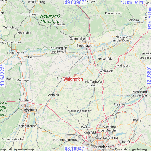
Waidhofen GPS coordinates[2]
48° 34' 36.516" North, 11° 20' 7.332" East
| Map corner | latitude | longitude |
|---|---|---|
| Upper-left | 49.03987°, | 10.63225° |
| Center: | 48.57681°, | 11.33537° |
| Lower-right: | 48.10947°, | 12.0385° |
| Map W x H: | 103.5×103.4 km | = 64.3×64.2mi |
| max Lat: | 55.01917° ⇑88.1% North |
| Waidhofen: | 48.57681° |
| min Lat: | ⇓11.9% South 47.40724° |
| min Long | Waidhofen | max Long |
| 5.92978° | 11.33537° | 14.98853° |
| W 71.8%⇐ | ⇒28.2% E |
Elevation
Elevation of Waidhofen is 407 m = 1335 ft, and this is 157.9 m = 518 ft above average elevation for this country.
| Max E: |
1256 m = 4121 ft | 23.8% |
| Waidhofen | 407 m 1335 ft | |
| Avg. | 249.1 m = 817 ft | |
Min E: |
-5 m = -16 ft | 76.2% |
See also: Germany elevation on elevation.city.
Geographical zone
Waidhofen is located in North temperate zone (between Tropic of Cancer and the Arctic Circle). Distance of this North polar circle is 1999.9 km =1242.7 mi to North.| Distance of | km | miles | from Waidhofen |
|---|---|---|---|
| North Pole | 4605.8 | 2861.9 | to North |
| Arctic Circle | 1999.9 | 1242.7 | to North |
| Tropic Cancer | 2795.3 | 1736.9 | to South |
| Equator | 5401.2 | 3356.1 | to South |


Nearby cities:
15 places around Waidhofen: (largest is in red/bold)
• Aresing
5.5 km =3.4 mi,  208°
208°
• Berg im Gau
8.9 km =5.5 mi,  315°
315°
• Brunnen
6.1 km =3.8 mi,  341°
341°
• Gachenbach
11.4 km =7.1 mi,  221°
221°
• Gerolsbach
9.5 km =5.9 mi,  168°
168°
• Karlshuld
12.3 km =7.6 mi, 342°
• Karlskron
13.3 km =8.3 mi,  26°
26°
• Langenmosen
9.5 km =5.9 mi,  290°
290°
• Pfaffenhofen an der Ilm
13.5 km =8.4 mi,  112°
112°
• Pörnbach
10.6 km =6.6 mi,  65°
65°
• Reichertshofen
13.2 km =8.2 mi,  46°
46°
• Ried
12.4 km =7.7 mi, 206°
• Scheyern
12.9 km =8 mi,  131°
131°
• Schiltberg
14.2 km =8.8 mi, 206°
• Schrobenhausen
5.8 km =3.6 mi,  251°
251°
Sources, notices
• [Note1] Compared only with cities in Germany existing in our database
• [Src1] Map data: © OpenStreetMap contributors (CC-BY-SA)
• [Src2] Other city data from geonames.org with taken over terms of usage.
• [Src3] Geographical zone / Annual Mean Temperature by Robert A. Rohde @ Wikipedia
