Brotterode geodata
Brotterode (Thuringia) is a populated place; located in Germany in Europe/Berlin (GMT+2) time zone. With population of 3,052 people, there are 3958 cities with bigger population in this country. Compared to other cities in Germany, 54.7% of cities are located further ↓South; 58% of cities are located further ←West and 93.4% of cities have lower elevation than Brotterode. Note1
Administrative division(s):
- Level 1: Thuringia
- Level 3: Landkreis Schmalkalden-Meiningen
- Level 4: Trusetal


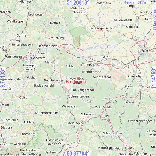
Brotterode GPS coordinates[2]
50° 49' 26.832" North, 10° 26' 40.056" East
| Map corner | latitude | longitude |
|---|---|---|
| Upper-left | 51.26618°, | 9.74133° |
| Center: | 50.82412°, | 10.44446° |
| Lower-right: | 50.37784°, | 11.14759° |
| Map W x H: | 98.8×98.8 km | = 61.4×61.4mi |
| max Lat: | 55.01917° ⇑45.3% North |
| Brotterode: | 50.82412° |
| min Lat: | ⇓54.7% South 47.40724° |
| min Long | Brotterode | max Long |
| 5.92978° | 10.44446° | 14.98853° |
| W 58%⇐ | ⇒42% E |
Elevation
Elevation of Brotterode is 564 m = 1850 ft, and this is 314.9 m = 1033 ft above average elevation for this country.
| Max E: |
1256 m = 4121 ft | 6.6% |
| Brotterode | 564 m 1850 ft | |
| Avg. | 249.1 m = 817 ft | |
Min E: |
-5 m = -16 ft | 93.4% |
See also: Germany elevation on elevation.city.
Geographical zone
Brotterode is located in North temperate zone (between Tropic of Cancer and the Arctic Circle). Distance of this North polar circle is 1750.1 km =1087.5 mi to North.| Distance of | km | miles | from Brotterode |
|---|---|---|---|
| North Pole | 4355.9 | 2706.6 | to North |
| Arctic Circle | 1750.1 | 1087.5 | to North |
| Tropic Cancer | 3045.2 | 1892.2 | to South |
| Equator | 5651.1 | 3511.4 | to South |


Nearby cities:
15 places around Brotterode: (largest is in red/bold)
• Bad Liebenstein
6.6 km =4.1 mi,  261°
261°
• Barchfeld
10.5 km =6.5 mi, 255°
• Breitungen
10.6 km =6.6 mi,  230°
230°
• Finsterbergen
10.2 km =6.3 mi,  83°
83°
• Friedrichroda
9.2 km =5.7 mi,  66°
66°
• Pappenheim
3.8 km =2.4 mi,  145°
145°
• Ruhla
9.4 km =5.8 mi,  324°
324°
• Schmalkalden
11.4 km =7.1 mi,  180°
180°
• Schweina
7.5 km =4.7 mi,  270°
270°
• Seebach
10.5 km =6.5 mi,  349°
349°
• Steinbach
5.7 km =3.5 mi,  280°
280°
• Tabarz
7.6 km =4.7 mi,  41°
41°
• Thal
10.9 km =6.8 mi,  340°
340°
• Trusetal
4.9 km =3 mi,  203°
203°
• Waltershausen
11.5 km =7.1 mi, 44°
Sources, notices
• [Note1] Compared only with cities in Germany existing in our database
• [Src1] Map data: © OpenStreetMap contributors (CC-BY-SA)
• [Src2] Other city data from geonames.org with taken over terms of usage.
• [Src3] Geographical zone / Annual Mean Temperature by Robert A. Rohde @ Wikipedia
