Badingen geodata
Badingen (Saxony-Anhalt) is a populated place; located in Germany in Europe/Berlin (GMT+2) time zone. With population of 536 people, there are 9155 cities with bigger population in this country. Compared to other cities in Germany, 78.9% of cities are located further ↓South; 76.3% of cities are located further ←West and 80.6% of cities have higher elevation than Badingen. Note1
Administrative division(s):
- Level 1: Saxony-Anhalt
- Level 3: Landkreis Stendal
- Level 4: Bismark (Altmark)


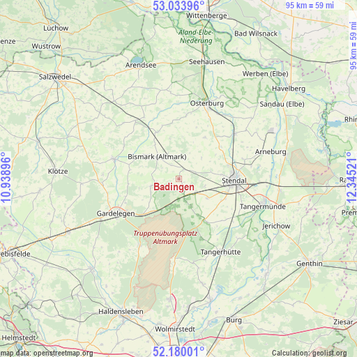
Badingen GPS coordinates[2]
52° 36' 32.652" North, 11° 38' 31.488" East
| Map corner | latitude | longitude |
|---|---|---|
| Upper-left | 53.03396°, | 10.93896° |
| Center: | 52.60907°, | 11.64208° |
| Lower-right: | 52.18001°, | 12.34521° |
| Map W x H: | 95×94.9 km | = 59×59mi |
| max Lat: | 55.01917° ⇑21.1% North |
| Badingen: | 52.60907° |
| min Lat: | ⇓78.9% South 47.40724° |
| min Long | Badingen | max Long |
| 5.92978° | 11.64208° | 14.98853° |
| W 76.3%⇐ | ⇒23.7% E |
Elevation
Elevation of Badingen is 45 m = 148 ft, and this is 204.1 m = 670 ft below average elevation for this country.
| Max E: |
1256 m = 4121 ft | 80.6% |
| Avg. | 249.1 m = 817 ft | |
| Badingen | 45 m = 148 ft | |
Min E: |
-5 m = -16 ft | 19.4% |
See also: Germany elevation on elevation.city.
Geographical zone
Badingen is located in North temperate zone (between Tropic of Cancer and the Arctic Circle). Distance of this North polar circle is 1551.6 km =964.1 mi to North.| Distance of | km | miles | from Badingen |
|---|---|---|---|
| North Pole | 4157.5 | 2583.3 | to North |
| Arctic Circle | 1551.6 | 964.1 | to North |
| Tropic Cancer | 3243.7 | 2015.5 | to South |
| Equator | 5849.6 | 3634.8 | to South |


Nearby cities:
15 places around Badingen: (largest is in red/bold)
• Bismark
8.2 km =5.1 mi,  315°
315°
• Dahlen
13.5 km =8.4 mi,  113°
113°
• Flessau
16.9 km =10.5 mi,  6°
6°
• Insel
9.2 km =5.7 mi,  124°
124°
• Jävenitz
13.5 km =8.4 mi,  225°
225°
• Kloster Neuendorf
15.2 km =9.4 mi, 232°
• Kläden
2.8 km =1.7 mi,  25°
25°
• Lindstedt
7.8 km =4.8 mi,  255°
255°
• Lüderitz
13 km =8.1 mi,  148°
148°
• Meßdorf
13.7 km =8.5 mi,  335°
335°
• Möringen
7.3 km =4.5 mi, 105°
• Rochau
12.9 km =8 mi, 32°
• Stendal
14.6 km =9.1 mi,  90°
90°
• Uchtspringe
8.2 km =5.1 mi,  200°
200°
• Uenglingen
11.3 km =7 mi,  84°
84°
Sources, notices
• [Note1] Compared only with cities in Germany existing in our database
• [Src1] Map data: © OpenStreetMap contributors (CC-BY-SA)
• [Src2] Other city data from geonames.org with taken over terms of usage.
• [Src3] Geographical zone / Annual Mean Temperature by Robert A. Rohde @ Wikipedia
