Gramat geodata
Gramat (Occitanie) is a populated place; located in France in Europe/Paris (GMT+2) time zone. With population of 3,892 people, there are 2523 cities with bigger population in this country. Compared to other cities in France, 81.5% of cities are located further ↑North; 60.3% of cities are located further →East and 81.9% of cities have lower elevation than Gramat. Note1
Administrative division(s):
- Level 1: Occitanie
- Level 2: Lot
- Level 3: Arrondissement de Gourdon
- Level 4: Gramat


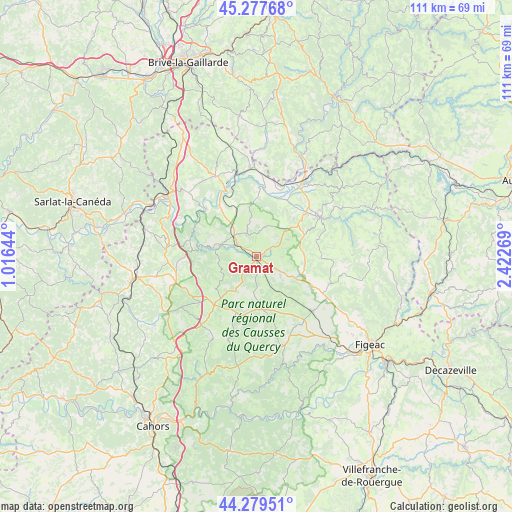
Gramat GPS coordinates[2]
44° 46' 50.7" North, 1° 43' 10.452" East
| Map corner | latitude | longitude |
|---|---|---|
| Upper-left | 45.27768°, | 1.01644° |
| Center: | 44.78075°, | 1.71957° |
| Lower-right: | 44.27951°, | 2.42269° |
| Map W x H: | 111×111 km | = 69×69mi |
| max Lat: | 51.07786° ⇑81.5% North |
| Gramat: | 44.78075° |
| min Lat: | ⇓18.5% South 41.3874° |
| min Long | Gramat | max Long |
| -5.08615° | 1.71957° | 9.52242° |
| W 39.7%⇐ | ⇒60.3% E |
Elevation
Elevation of Gramat is 310 m = 1017 ft, and this is 116.3 m = 382 ft above average elevation for this country.
| Max E: |
2333 m = 7654 ft | 18.1% |
| Gramat | 310 m 1017 ft | |
| Avg. | 193.7 m = 635 ft | |
Min E: |
-1 m = -3 ft | 81.9% |
See also: France elevation on elevation.city.
Geographical zone
Gramat is located in North temperate zone (between Tropic of Cancer and the Arctic Circle). Distance of this Northern Tropic circle is 2373.2 km =1474.6 mi to South.| Distance of | km | miles | from Gramat |
|---|---|---|---|
| North Pole | 5027.9 | 3124.2 | to North |
| Arctic Circle | 2422 | 1505 | to North |
| Tropic Cancer | 2373.2 | 1474.6 | to South |
| Equator | 4979.2 | 3093.9 | to South |


Nearby cities:
15 places around Gramat: (largest is in red/bold)
• Alvignac
5.5 km =3.4 mi,  339°
339°
• Assier
17.1 km =10.6 mi,  133°
133°
• Aynac
10.5 km =6.5 mi,  87°
87°
• Bretenoux
17.7 km =11 mi,  32°
32°
• Bétaille
18.2 km =11.3 mi,  3°
3°
• Lacapelle-Marival
17.2 km =10.7 mi,  110°
110°
• Leyme
14.2 km =8.8 mi, 87°
• Livernon
17.8 km =11.1 mi,  146°
146°
• Montfaucon
16.2 km =10.1 mi,  230°
230°
• Pinsac
18.2 km =11.3 mi,  296°
296°
• Prudhomat
15.6 km =9.7 mi, 32°
• Puybrun
16.3 km =10.1 mi,  19°
19°
• Rocamadour
8.2 km =5.1 mi,  285°
285°
• Saint-Céré
16.2 km =10.1 mi,  58°
58°
• Saint-Laurent-les-Tours
17.5 km =10.9 mi,  52°
52°
Sources, notices
• [Note1] Compared only with cities in France existing in our database
• [Src1] Map data: © OpenStreetMap contributors (CC-BY-SA)
• [Src2] Other city data from geonames.org with taken over terms of usage.
• [Src3] Geographical zone / Annual Mean Temperature by Robert A. Rohde @ Wikipedia
