Ndjolé geodata
Ndjolé (Moyen-Ogooué) is a populated place; located in Gabon in Africa/Libreville (GMT+1) time zone. With population of 5,098 people, there are 19 cities with bigger population in this country. Compared to other cities in Gabon, 69.2% of cities are located further ↓South; 65.4% of cities are located further →East and 65.4% of cities have higher elevation than Ndjolé. Note1


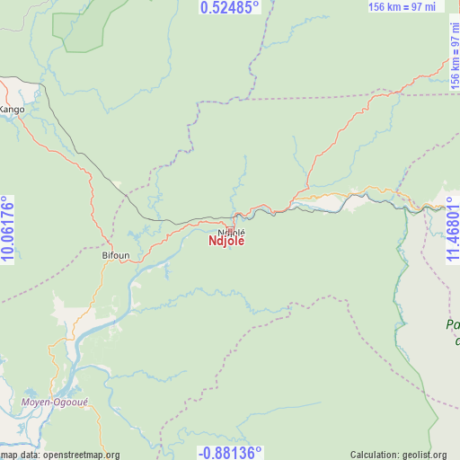
Ndjolé GPS coordinates[2]
0° 10' 41.772" South, 10° 45' 53.568" East
| Map corner | latitude | longitude |
|---|---|---|
| Upper-left | 0.52485°, | 10.06176° |
| Center: | -0.17827°, | 10.76488° |
| Lower-right: | -0.88136°, | 11.46801° |
| Map W x H: | 156.4×156.4 km | = 97.2×97.2mi |
| max Lat: | 2.07597° ⇑30.8% North |
| Ndjolé: | -0.17827° |
| min Lat: | ⇓69.2% South -3.43198° |
| min Long | Ndjolé | max Long |
| 8.78151° | 10.76488° | 14.25905° |
| W 34.6%⇐ | ⇒65.4% E |
Elevation
Elevation of Ndjolé is 53 m = 174 ft, and this is 204 m = 669 ft below average elevation for this country.
| Max E: |
667 m = 2188 ft | 65.4% |
| Avg. | 257 m = 843 ft | |
| Ndjolé | 53 m = 174 ft | |
Min E: |
4 m = 13 ft | 34.6% |
See also: Gabon elevation on elevation.city.
Geographical zone
Ndjolé is located in South Torrid zone (between Equator and Tropic of Capricorn). Distance of Equator is 19.8 km =12.3 mi to North.| Distance of | km | miles | from Ndjolé |
|---|---|---|---|
| Equator | 19.8 | 12.3 | to North |
| Tropic Capricorn | 2586.1 | 1606.9 | to South |
| Antarctic Circle | 7381.4 | 4586.6 | to South |
| South Pole | 9987.2 | 6205.8 | to South |


Nearby cities:
15 places around Ndjolé: (largest is in red/bold)
• Booué
130.8 km =81.3 mi,  85°
85°
• Cocobeach
185.6 km =115.3 mi,  314°
314°
• Fougamou
117.1 km =72.8 mi,  189°
189°
• Koulamoutou
216.9 km =134.8 mi,  119°
119°
• Lambaréné
82.3 km =51.1 mi,  225°
225°
• Lastoursville
227.5 km =141.4 mi,  108°
108°
• Libreville
159 km =98.8 mi,  293°
293°
• Mbigou
229.7 km =142.7 mi,  146°
146°
• Mimongo
185.6 km =115.3 mi, 149°
• Mitzic
137.9 km =85.7 mi,  39°
39°
• Mouila
190.7 km =118.5 mi,  170°
170°
• Ntoum
128.3 km =79.7 mi,  299°
299°
• Omboué
228.1 km =141.7 mi, 227°
• Oyem
217.4 km =135.1 mi,  24°
24°
• Port-Gentil
228.6 km =142 mi,  254°
254°
Sources, notices
• [Note1] Compared only with cities in Gabon existing in our database
• [Src1] Map data: © OpenStreetMap contributors (CC-BY-SA)
• [Src2] Other city data from geonames.org with taken over terms of usage.
• [Src3] Geographical zone / Annual Mean Temperature by Robert A. Rohde @ Wikipedia
