Fougamou geodata
Fougamou (Ngouni) is a populated place; located in Gabon in Africa/Libreville (GMT+1) time zone. With population of 5,649 people, there are 18 cities with bigger population in this country. Compared to other cities in Gabon, 53.8% of cities are located further ↑North; 73.1% of cities are located further →East and 57.7% of cities have higher elevation than Fougamou. Note1


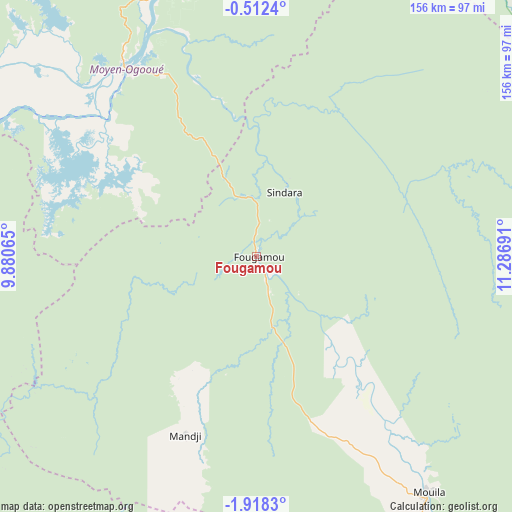
Fougamou GPS coordinates[2]
1° 12' 55.584" South, 10° 35' 1.608" East
| Map corner | latitude | longitude |
|---|---|---|
| Upper-left | -0.5124°, | 9.88065° |
| Center: | -1.21544°, | 10.58378° |
| Lower-right: | -1.9183°, | 11.28691° |
| Map W x H: | 156.3×156.3 km | = 97.1×97.1mi |
| max Lat: | 2.07597° ⇑53.8% North |
| Fougamou: | -1.21544° |
| min Lat: | ⇓46.2% South -3.43198° |
| min Long | Fougamou | max Long |
| 8.78151° | 10.58378° | 14.25905° |
| W 26.9%⇐ | ⇒73.1% E |
Elevation
Elevation of Fougamou is 93 m = 305 ft, and this is 164 m = 538 ft below average elevation for this country.
| Max E: |
667 m = 2188 ft | 57.7% |
| Avg. | 257 m = 843 ft | |
| Fougamou | 93 m = 305 ft | |
Min E: |
4 m = 13 ft | 42.3% |
See also: Gabon elevation on elevation.city.
Geographical zone
Fougamou is located in South Torrid zone (between Equator and Tropic of Capricorn). Distance of Equator is 135.1 km =83.9 mi to North.| Distance of | km | miles | from Fougamou |
|---|---|---|---|
| Equator | 135.1 | 83.9 | to North |
| Tropic Capricorn | 2470.8 | 1535.3 | to South |
| Antarctic Circle | 7266 | 4514.9 | to South |
| South Pole | 9871.9 | 6134.1 | to South |


Nearby cities:
15 places around Fougamou: (largest is in red/bold)
• Booué
195.7 km =121.6 mi,  50°
50°
• Gamba
172.2 km =107 mi,  202°
202°
• Koulamoutou
209.2 km =130 mi,  87°
87°
• Lambaréné
68.8 km =42.8 mi,  326°
326°
• Lastoursville
240.3 km =149.3 mi,  79°
79°
• Libreville
218.5 km =135.8 mi,  324°
324°
• Mbigou
165.5 km =102.8 mi,  117°
117°
• Mimongo
122.3 km =76 mi,  111°
111°
• Mouila
89.6 km =55.7 mi,  144°
144°
• Ndendé
157.4 km =97.8 mi,  146°
146°
• Ndjolé
117.1 km =72.8 mi,  9°
9°
• Ntoum
200.6 km =124.6 mi, 332°
• Omboué
152.3 km =94.6 mi,  254°
254°
• Port-Gentil
207.8 km =129.1 mi,  285°
285°
• Tchibanga
196.1 km =121.9 mi,  166°
166°
Sources, notices
• [Note1] Compared only with cities in Gabon existing in our database
• [Src1] Map data: © OpenStreetMap contributors (CC-BY-SA)
• [Src2] Other city data from geonames.org with taken over terms of usage.
• [Src3] Geographical zone / Annual Mean Temperature by Robert A. Rohde @ Wikipedia
